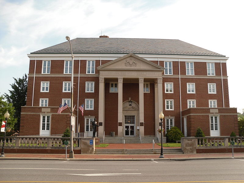
File:Indiana_County_Courthouse.jpg · Wikimedia Commons · See Wikimedia Commons
Indiana County
Sign in to saveAlso known as Indiana County, Pennsylvania, Indiana County, PA
county in Pennsylvania, United States
Key facts
- Country
- United States
- State
- Pennsylvania
- Founded
- November 3, 1806
- Seat
- Indiana
- Largest borough
- Indiana
- Total
- 834 sq mi (2,160 km )
- Land
- 827 sq mi (2,140 km )
- Water
- 7.3 sq mi (19 km ) 0.9%
- Estimate 2025
- 82,878
- Density
- 100/sq mi (39/km )
- Time zone
- UTC−5 ( Eastern )
- Summer dst
- UTC−4 ( EDT )
- Congressional districts
- 14th , 15th
- Website
- www .indianacountypa .gov
via Wikipedia infobox
Official website

Home - County of Indiana
countyofindiana.org →Link to the official site · 4,224 chars · not written by Vinony
Wikidata facts
- Named after
- Indigenous peoples of the Americas
- Country
- United States
- Located in
- Pennsylvania
- Contains
- Indiana
- Capital
- Indiana
- Population
- 83246
- Area
- 2161
- Shares border with
- Cambria County
- Official website
- www.countyofindiana.org
- Image
- Indiana County Courthouse.jpg
- Households
- 33855
Show 8 more facts
- topic's main category
- Category:Indiana County, Pennsylvania
- Commons category
- Indiana County, Pennsylvania
- category for people born here
- Category:Births in Indiana County, Pennsylvania
- category of associated people
- Category:People from Indiana County, Pennsylvania
- inception
- 1806-11-03
- water as percent of area
- 0.9
- native label
- Indiana County
- per capita income
- 26608
Sources (9)
via Wikidata · CC0
~16 min read
Encyclopedic overview
Indiana County is a county in the Commonwealth of Pennsylvania. It is located in the west central part of Pennsylvania. As of the 2020 census, the population was 83,246. Its county seat is Indiana. Indiana County comprises the Indiana, PA Micropolitan Statistical Area, which is also included in the Pittsburgh-New Castle-Weirton, PA-WV-OH Combined Statistical Area. The county is part of the Southwest region of the commonwealth.
Prior to the Revolutionary War, some settlers proposed this as part of a larger, separate colony to be known as Vandalia, but opposing interests and the war intervened. Afterward, claims to the territory by both the states of Virginia and Pennsylvania had to be reconciled. After this land was assigned to Pennsylvania by the federal government according to the placement of the Mason–Dixon line, Indiana County was created on March 30, 1803, from parts of Westmoreland and Clearfield counties and was formally organized in 1806.
Excerpted from Wikipedia’s “Indiana County” article, available under the CC BY-SA 4.0 licence.