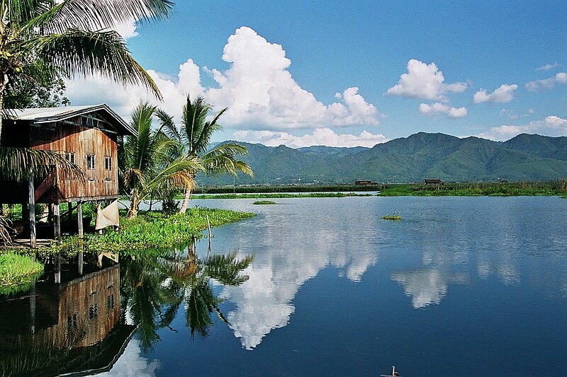
File:Inle_Lake_(Myanmar).jpg · Wikimedia Commons · See Wikimedia Commons
Key facts
- Location
- Shan State
- Type
- Polymictic lake
- Primary outflows
- Nam Pilu
- Basin countries
- Myanmar
- Surface area
- 44.9 sq mi (116 km )
- Average depth
- 5 ft (1.5 m) (dry season)
- Max depth
- 12 ft (3.7 m) (dry season; +5 ft in monsoon season)
- Surface elevation
- 2,900 ft (880 m)
- Official name
- Inlay Lake Ramsar Site
- Designated
- 5 December 1974
via Wikipedia infobox
Wikidata facts
- Instance of
- polymictic lake
- Country
- Myanmar
- Located in
- Nyaungshwe Township
- Area
- 120
- Elevation
- 884
- Image
- Inle Lake, Fisherman on the boat 2, Myanmar.jpg
- Width
- 10
- Length
- 22
Show 4 more facts
- vertical depth
- 3.60
- Commons category
- Inle Lake
- basin country
- Myanmar
- heritage designation
- Ramsar site
Sources (1)
via Wikidata · CC0
~12 min read
Encyclopedic overview
Inle Lake
Location of Inle Lake
Excerpted from Wikipedia’s “Inle Lake” article, available under the CC BY-SA 4.0 licence.