
Image by felix_w on Pixabay · Pixabay License
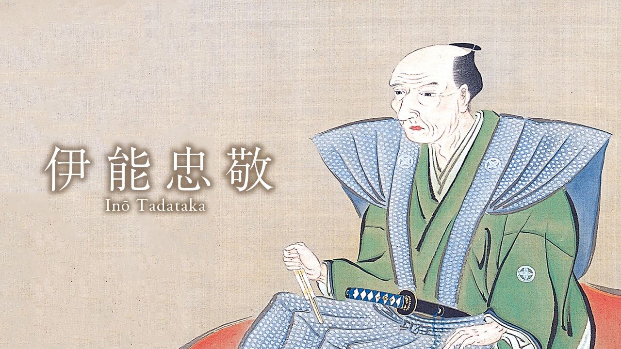
Inō Tadataka
Sign in to saveAlso known as Ino Tadataka, Tadataka Ino, Inou Tadataka, Inoh Tadataka
Japanese surveyor and cartographer (1745-1818)
Described at
Mapping a Nation: Japan’s Most Famous Cartographer, Inō Tadataka | Nippon.com
Inō Tadataka was 55 years old when he set out to methodically survey the entire coastline of Japan, a task he would spend the next 17 years of his life completing.
nippon.com →During the latter part of the Edo period (1603–1868), geographical surveyor Inō Tadataka (1745–1818) set to work charting the coastline of Japan, a mammoth undertaking that consumed the last decades of his life. Inō would die at the age of 73, before seeing his life’s work completed in the form of a map of the nation based on his survey activities. But he is recognized as the first person to survey the entirety of Japan using modern scientific techniques. His collection of highly accurate maps served as the basis of the mapmaking efforts of the modern Meiji government. Tadataka was born on the Kujūkuri coast in Kazusa Province in what is now Chiba Prefecture. Although his father was an important person in the village, he suffered a tumultuous childhood. His mother died when he was six and his father, who had married into the household, was obliged to leave the family; the two did not reunite until the boy was 10. An able student, Tadataka had a talent for arithmetic and a fondness for stargazing. At 17, he married into the Inō family, a merchant clan in the nearby village of Sawara. As heir, he used his business acumen to rebuild the family’s declining sake brewing operation and financial and other enterprises. The young man had a deep love of learning and eagerly pursued subjects like mathematics and astronomy even as he tirelessly worked to revive the family’s prosperity. As village headman, he used his accounting knowledge to keep track of communal resources, including calculating the community’s share of rice rations during times of famine, and showed early promise as a cartographer, drawing a map of the nearby Tone River that served for flood control and irrigation purposes. (He would refer to this map in his later surveying efforts.) Inō’s broad expertise and talents earned him recognition from the lord of the domain, who bestowed on him the high honor of bearing a surname and carrying a sword. At the age of 49, Inō stepped down as family head, turned the business over to his son, and retired with his wealth to the neighborhood of Fukagawa in Edo (now Tokyo). There he threw himself into the study of astronomy, transforming his home into an observatory filled with an array of instruments for observing the skies. Shortly after retiring, he became the pupil of Takahashi Yoshitoki, a leading astronomer of the ruling Tokugawa shogunate who had been tasked with revising the Japanese calendar. Takahashi was well versed in Chinese and Western astronomy, and under his tutelage, Inō mastered the use of celestial bodies to fix his geographical position, a vital skill that enabled him to methodically survey vast areas of land. Following his apprenticeship, Inō set about to determine the size of the earth, a task that would first require him to work out the span of one degree of meridian arc. He attempted this by calculating the distance between his home and the shogunal calendar office using a surveying technique called traversing that involves precisely measuring the length and direction of a series of connected lines between two fixed points. Upon reporting his findings to Takahashi, though, Inō’s former teacher quickly declared the total length measured to be inadequate; there was too high a risk of error for it to be practical. At the very least, Inō would need to measure the distance between Edo and the northern island of Hokkaidō, then called Ezo, if he hoped to come up with a usable figure. Ezo at the time was an untamed wilderness inhabited by tribes of indigenous Ainu. The shogunate maintained a scattering of outposts around the island and strictly controlled visitors, but with the steady encroachment of Russian vessels, officials were keen to strengthen Japan’s claim to the land. When Takahashi proposed that Inō conduct a thorough survey, the government sanctioned the Ezo excursion, providing a modest stipend that Inō supplemented with personal funds. In 1800, Inō led a small team northward and spent six months surv
Excerpt from a page describing this subject · 19,713 chars · not written by Vinony
Wikidata facts
- Instance of
- human
- Gender
- male
- Citizenship
- Japan
- Place of death
- Edo
- Occupation
- surveyor
- Position held
- village head
- Employer
- Tenmonkata
- Languages spoken
- Japanese
- Native language
- Japanese
- Student of
- Takahashi Yoshitoki
- Field of work
- astronomy
- Image
- Ino Tadataka.jpg
Show 17 more facts
- Commons category
- Ino Tadataka
- date of death
- 1818-05-17
- date of birth
- 1745-02-11
- name in kana
- いのう ただたか
- cause of death
- pneumonia
- student
- Mamiya Rinzō
- manner of death
- natural causes
- name in native language
- 伊能忠敬
- courtesy name
- 子斉
- art name
- 東河
- medical condition
- chronic bronchitis
- birth name
- 神保三治郎
- writing language
- Japanese
- pseudonym
- 勘解由
- ethnic group
- Japanese people
- Commons Creator page
- Inō Tadataka
Sources (2)
via Wikidata · CC0