Official website (https://kaiser-wilhelm-koog.de/)
Kaiser-Wilhelm-Koog
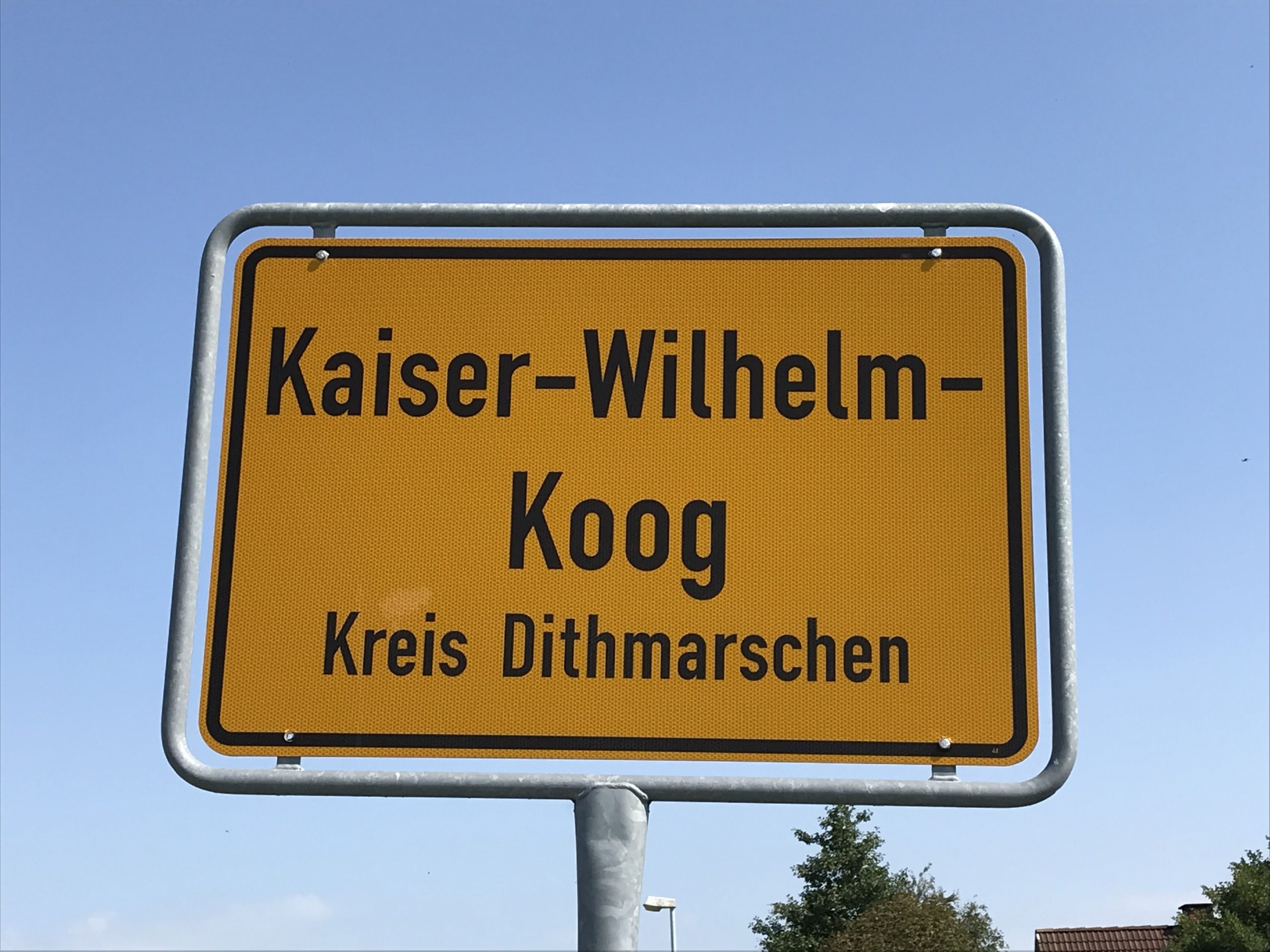
Sign in to saveKaiser-Wilhelm-Koog (, ) is a municipality situated along the North Sea coast in the district of Dithmarschen, in Schleswig-Holstein, Germany.
Key facts
- German location.image_flag
- Flagge Kaiser-Wilhelm-Koog.png
- German location.image_coa
- DEU Kaiser-Wilhelm-Koog COA.svg
- German location.image_plan
- Kaiser-Wilhelm-Koog in HEI.PNG
- German location.state
- Schleswig-Holstein
- German location.district
- Dithmarschen
- German location.Amt
- Marne-Nordsee
- German location.elevation
- 0
- German location.area
- 13.05
- German location.postal_code
- 25709
- German location.area_code
- 04856
- German location.licence
- HEI
- German location.Gemeindeschlüssel
- 01 0 51 057
- German location.website
- www.kaiser-wilhelm-koog.de
- German location.mayor
- Ernst-Otto Wilkens
via Wikipedia infobox
Official website
Home -
kaiser-wilhelm-koog.de →Link to the official site · 4,387 chars · not written by Vinony
Wikidata facts
- Named after
- Wilhelm I
- Country
- Germany
- Located in
- Dithmarschen
- Population
- 370
- Area
- 13.05
- Elevation
- 3
- Time zone
- UTC+02:00
- Official website
- kaiser-wilhelm-koog.de
- Image
- Schleswig-Holstein, Kaiser-Wilhelm-Koog, Kohlfelder NIK 8279.jpg
- Dialing code
- 04856
- Licence plate code
- HEI
Show 3 more facts
- Commons category
- Kaiser-Wilhelm-Koog
- postal code
- 25709
- P8168
- Anton Csorich
via Wikidata · CC0
~1 min read
Encyclopedic overview
1 sectionsContents
- References
Kaiser-Wilhelm-Koog (, ) is a municipality situated along the North Sea coast in the district of Dithmarschen, in Schleswig-Holstein, Germany.
The municipality is located in and named after the Koog (polder), which was finished in 1874 and named in honour of German Emperor William I. The Koog is entirely reclaimed land and therefore a completely flat area and is 0 meters above sea level.
Excerpted from Wikipedia’s “Kaiser-Wilhelm-Koog” article, available under the CC BY-SA 4.0 licence.
On the map
2 mapped locations