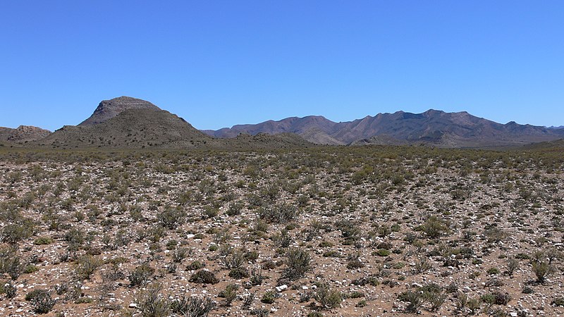
File:Anysberg_P1020029.JPG · Wikimedia Commons · See Wikimedia Commons
Key facts
- Settlement.name
- Karoo
- Settlement.native_name
- Karo
- Settlement.settlement_type
- Natural region
- Settlement.image_skyline
- Anysberg P1020029.JPG
- Settlement.image_caption
- Typical Karoo vegetation to the south of Matjiesfontein, with the Anysberg Mountains visible in the background
- Settlement.image_map
- Map of Karoo.png
- Settlement.map_caption
- Extent of the Karoo (olive-green) and Klein Karoo (bright green) in South Africa, with the names of surrounding areas in blue. The thick interrupted line indicates the course of the Great Escarpment which delimits the Central South African Plateau. To the immediate south and south-west the solid lines trace the parallel ranges of the Cape Fold Belt.
- Settlement.subdivision_type
- Country
- Settlement.subdivision_name
- South Africa
- Settlement.population_density_km2
- auto
via Wikipedia infobox
Wikidata facts
- Instance of
- natural region
- Country
- South Africa
- Located in
- Northern Cape
- Area
- 400000
- Image
- Anysberg P1020029.JPG
Show 4 more facts
- Commons category
- Karoo
- topic's main category
- Category:Karoo
- Commons gallery
- Karoo
- described by source
- Encyclopædia Britannica 11th edition
Sources (3)
via Wikidata · CC0
Article · Italiano
Il Karoo o Karroo (in italiano talvolta anche trascritto nella forma Karu o Karru; in lingua locale ǃ’Aukarob) è una regione arida dell'entroterra sudafricano.
Abstract from DBpedia / Wikipedia · CC BY-SA
Gallery (38)
On the map
3 mapped locations