Official website (http://ket.sk/)
Keť
Keť () is a village and municipality in the Levice District in the Nitra Region of Slovakia.
Key facts
- Slovak place.name
- Keť
- Slovak place.other_name
- Érsekkéty
- Slovak place.settlement_type
- Municipality
- Slovak place.image_skyline
- Érsekkéty tér 3.jpg
- Slovak place.image_flag
- Ket Flag.svg
- Slovak place.image_shield
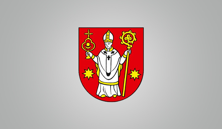
- Ket_Shield.svg
- Slovak place.subdivision_type1
- Region
- Slovak place.subdivision_type2
- District
- Slovak place.subdivision_name2
- Levice District
- Slovak place.pushpin_map
- Slovakia Nitra Region#Slovakia
- Slovak place.pushpin_relief
- 1
- Slovak place.pushpin_map_caption
- Location of Keť in the Nitra Region##Location of Keť in Slovakia
~1 min read
Article
9 sectionsContents
- History
- Geography
- Population
- Ethnicity
- Religion
- Government
- Facilities
- References
- External links
Keť () is a village and municipality in the Levice District in the Nitra Region of Slovakia.
==History== In historical records the village was first mentioned in 1308.
On the map
2 mapped locations