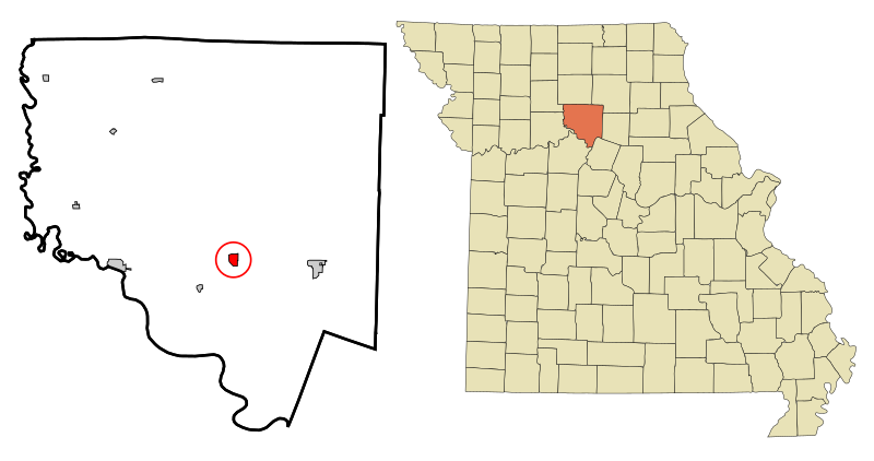
File:Chariton_County_Missouri_Incorporated_and_Unincorporated_areas_Keytesville_Highlighted.svg · Wikimedia Commons · See Wikimedia Commons
Keytesville
Sign in to saveAlso known as Keytesville, Missouri, Keytesville, MO
city in, and the county seat of, Chariton County, Missouri, United States
Key facts
- Country
- United States
- State
- Missouri
- County
- Chariton
- Named after
- James Keyte
- Total
- 0.78 sq mi (2.02 km )
- Land
- 0.77 sq mi (1.99 km )
- Water
- 0.012 sq mi (0.03 km )
- Elevation
- 702 ft (214 m)
- Density
- 572.2/sq mi (220.93/km )
- Time zone
- UTC-6 ( Central (CST) )
- Summer dst
- UTC-5 (CDT)
- Fips code
- 29-38468
via Wikipedia infobox
Wikidata facts
- Instance of
- county seat
- Official name
- Keytesville
- Country
- United States
- Located in
- Chariton County
- Population
- 440
- Area
- 2.019523
- Elevation
- 216
- Time zone
- Central Time Zone
- Capital of
- Chariton County
- Image
- Chariton County Missouri courthouse 20151004-127.jpg
- Households
- 150
- Dialing code
- 660
Show 6 more facts
- Commons category
- Keytesville, Missouri
- water as percent of area
- 1.3838
- per capita income
- 26040
- postal code
- 65261
- inception
- 1830-00-00
Sources (9)
via Wikidata · CC0
~10 min read
Encyclopedic overview
Keytesville is a city in and the county seat of Chariton County, Missouri, United States. The population was 440 as of the 2020 census. Keytesville is the hometown of U.S. Army General Maxwell D. Taylor, who commanded the "Screaming Eagles" 101st Airborne division during the Normandy invasion of World War II. Confederate General Sterling Price, who attacked Keytesville during an unsuccessful cavalry raid across his home state, had previously operated a hotel there.
History
Excerpted from Wikipedia’s “Keytesville” article, available under the CC BY-SA 4.0 licence.