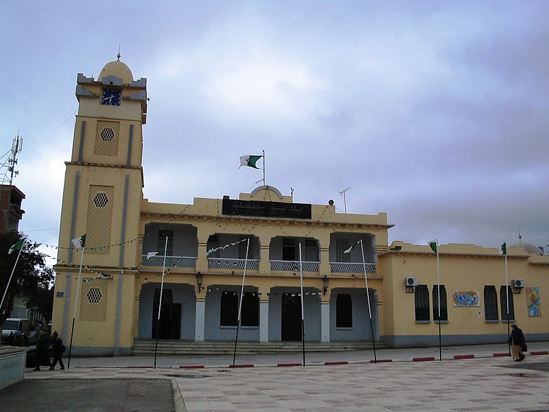
File:Mairie_de_Khenchela.jpg · Wikimedia Commons · See Wikimedia Commons
AI overview
Khenchela Province is a region in eastern Algeria that serves as part of the country's administrative division system. While specific details about its particular significance or characteristics aren't provided here, it functions as one of Algeria's provinces within the broader governance structure of the nation.
AI-generated from the Wikipedia summary — may contain errors.
Wikidata facts
- Instance of
- province of Algeria
- Country
- Algeria
- Located in
- Algeria
- Contains
- Ouled Rechache District
- Capital
- Khenchela
- Population
- 386683
- Area
- 9811.0
- Elevation
- 1236
- Shares border with
- Biskra Province
- Image
- Mairie de Khenchela.jpg
Show 4 more facts
- topic has template
- Template:Khenchela Province
- Commons category
- Khenchela Province
- topic's main category
- Category:Khenchela Province
- language used
- Shawiya
via Wikidata · CC0
~1 min read
Encyclopedic overview
Khenchela Province (Arabic: ولاية خنشلة) is a province (wilaya) in the Aurès region in Algeria.
History
Excerpted from Wikipedia’s “Khenchela Province” article, available under the CC BY-SA 4.0 licence.