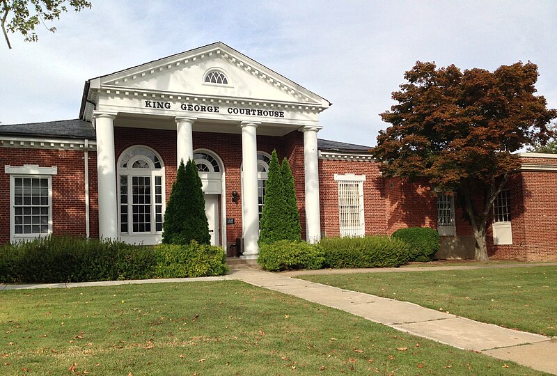
File:King_George_VA_courthouse.JPG · Wikimedia Commons · See Wikimedia Commons
King George County
Sign in to saveAlso known as King George County, Virginia, King George County, VA
county in Virginia, United States
Key facts
- Country
- United States
- State
- Virginia
- Named after
- George I
- Seat
- King George
- Largest cdp
- King George
- Total
- 188 sq mi (490 km )
- Land
- 180 sq mi (470 km )
- Water
- 21 sq mi (54 km ) 4.3%
- Estimate 2025
- 29,646
- Density
- 150/sq mi (57/km )
- Time zone
- UTC−5 ( Eastern )
- Summer dst
- UTC−4 ( EDT )
- Congressional district
- 7th
- Website
- kinggeorgecountyva.gov
via Wikipedia infobox
Wikidata facts
- Named after
- George I of Great Britain
- Country
- United States
- Located in
- Colony of Virginia
- Capital
- King George
- Population
- 26723
- Area
- 486
- Body of water
- Potomac River
- Shares border with
- Westmoreland County
- Official website
- www.king-george.va.us
- Image
- King George VA courthouse.JPG
- Households
- 9387
Show 8 more facts
- Commons category
- King George County, Virginia
- topic's main category
- Category:King George County, Virginia
- inception
- 1720-00-00
- category of associated people
- Category:People from King George County, Virginia
- water as percent of area
- 4.3
- native label
- King George County
- different from
- Prince George County
- per capita income
- 38926
Sources (12)
via Wikidata · CC0
~10 min read
Encyclopedic overview
King George County is a county located in the Commonwealth of Virginia. As of the 2020 census, the population sits at 26,723. Its county seat is the census designated place of King George. The county's largest employer is the U.S. Naval Surface Warfare Center Dahlgren Division. It is adjacent to the newly built, four-lane, 2-mile-long (3.2 km) Harry W. Nice Memorial Bridge carrying U.S. Highway 301 over the Potomac River. It contains the ZIP codes 22448 (Dahlgren) and 22485 (all other areas within King George). It is within the area code 540 and contains the exchanges: 775, 644, 663, and 653.
History
Excerpted from Wikipedia’s “King George County” article, available under the CC BY-SA 4.0 licence.