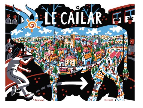
Official website (https://lecailar.fr/)
OverviewAI-generated
Le Cailar is a commune in France, situated within the Gard department and the arrondissement of Nîmes. It lies in the Occitanie region and is part of the canton of Rhôny-Vidourle, while its associated electoral district is the canton of Aigues-Mortes. The municipality borders Aigues-Vives, Codognan, and Saint-Laurent-d'Aigouze. Its postal code is 30740, and it is located at an elevation of 41 meters above sea level.
The area of Le Cailar is 30.01 square kilometers. Population figures vary by source, with one listing 2,578 residents and another citing 2,517. Among the recorded residents, there are 1,195 males and 1,217 females. The local climate data indicates a current temperature of 21.55 degrees, with a humidity level of 64 percent and wind speed of 2.06. The commune’s official website is lecailar.fr.
Synthesized by Vinony from 47 facts across 8 sources: Wikidata, Open Meteo, Openweathermap, OpenStreetMap, GeoNames, Firecrawl, Vinony graph, Geo. Generated from structured data (not the Wikipedia text) and checked against those facts — may still contain errors.
Weather now
7-day forecast
via Open-Meteo
Place details
- Locality
- Le Cailar
- Region
- Occitanie
- Country
- France
- Population
- 2,517
- Timezone
- Europe/Paris
via OpenStreetMap · GeoNames
Key facts
- Country
- France
- Region
- Occitania
- Department
- Gard
- Arrondissement
- Nîmes
- Canton
- Aigues-Mortes
- Intercommunality
- CC Petite-Camargue
- Mayor 2020 2026
- Joël Tena
- Area
- 30.01 km (11.59 sq mi)
- Population 2023
- 2,578
- Density
- 85.90/km (222.5/sq mi)
- Time zone
- UTC+01:00 ( CET )
- Summer dst
- UTC+02:00 ( CEST )
- Insee postal code
- 30059 /30740
- Elevation
- 0–41 m (0–135 ft) , (avg. 7 m or 23 ft)
via Wikipedia infobox
Official website
Accueil - Commune de Le Cailar
Bienvenue sur le site officiel de la commune de Le Cailar, blotti idéalement au sein de la Petite Camargue Gardoise
lecailar.fr →Link to the official site · 21,174 chars · not written by Vinony
Wikidata facts
- Instance of
- commune of France
- Official name
- Le Cailar
- Country
- France
- Located in
- arrondissement of Nîmes
- Population
- 2578
- Area
- 30.01
- Elevation
- 5
- Time zone
- UTC+02:00
- Shares border with
- Vestric-et-Candiac
- Official website
- lecailar.fr
- Image
- Eglise cailar.JPG
Show 7 more facts
- Commons category
- Le Cailar
- postal code
- 30740
- associated electoral district
- canton of Aigues-Mortes
- male population
- 1195
- female population
- 1217
- email address
- mailto:[email protected]
- phone number
- +33-4-66-88-01-05
Sources (4)
via Wikidata · CC0
~4 min read
Encyclopedic overview
Le Cailar ( French pronunciation: [lə kɛlaʁ]; Occitan: Lo Cailar) is a commune in the Gard department in southern France. It is located at the confluence of the River Vistre and the River Rhôny. It was an important port during the Iron Age at a time when lagoons connected to the Mediterranean Sea covered the adjoining low-lying land.
History
Excerpted from Wikipedia’s “Le Cailar” article, available under the CC BY-SA 4.0 licence.