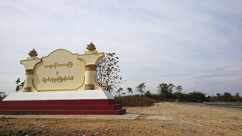
File:Magway_Region_welcome_board.jpg · Wikimedia Commons · See Wikimedia Commons
Magway Region
Sign in to saveadministrative region of Myanmar
Key facts
- Burmese
- ma. kwe: tuing: desa. kri:
- Country
- Myanmar
- Region
- Upper
- Capital
- Magway
- Largest city
- Pakokku
- Chief minister
- Tint Lwin
- Cabinet
- Magway Region Government
- Legislature
- Magway Region Hluttaw
- Judiciary
- Magway Region High Court
- Total
- 44,820.6 km (17,305.3 sq mi)
- Rank
- 4th
- Highest elevation kennedy peak
- 2,703 m (8,868 ft)
- Density
- 87.3941/km (226.350/sq mi)
- Demonym
- Magwegian
- Ethnicities
- Bamar , Chin , Rakhine , Shan , Karen
- Religions
- Buddhism 98.8%, Christianity 0.7%, Islam 0.3%, Hinduism 0.1%, animism 0.1%
- Time zone
- UTC+06:30 ( MST )
- Hdi 2017
- 0.560 , medium · 6th
via Wikipedia infobox
Wikidata facts
- Country
- Myanmar
- Located in
- British rule in Myanmar
- Capital
- Magway
- Population
- 4078504
- Area
- 44820.58
- Elevation
- 47
- Shares border with
- Bago Region
Show 3 more facts
- topic's main category
- Category:Magway Region
- Commons category
- Magway Region
- language used
- Chinbon Chin
Sources (2)
via Wikidata · CC0
~10 min read
Encyclopedic overview
Magway Region (Burmese: မကွေးတိုင်းဒေသကြီး, pronounced [məɡwé táiɰ̃ dèθa̰ dʑí]; formerly Magway Division) is an administrative division in central Myanmar. It is the second largest of Myanmar's seven divisions, with an area of 44,820 km (17,306 square miles). Pa-de Dam (ပဒဲဆည်) is one of the dams in Aunglan Township, Magway Region. The capital and second largest city of the Magway Region is Magway. The largest city is Pakokku. The major cities of Magway Region are Magway, Pakokku, Aunglan, Yenangyaung, Taungdwingyi, Chauk, Minbu, Thayet and Gangaw.
Geography
Excerpted from Wikipedia’s “Magway Region” article, available under the CC BY-SA 4.0 licence.