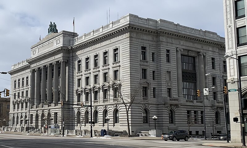
File:Mahoning_County_Courthouse.jpg · Wikimedia Commons · See Wikimedia Commons
contea di Mahoning
Sign in to saveAlso known as Mahoning County, Ohio, Mahoning County, OH
contea statunitense
Key facts
- Country
- United States
- State
- Ohio
- Founded
- March 1, 1846
- Named after
- A Native American word for salt lick
- Seat
- Youngstown
- Largest city
- Youngstown
- Total
- 425 sq mi (1,100 km )
- Land
- 412 sq mi (1,070 km )
- Water
- 14 sq mi (36 km ) 3.2%
- Estimate 2025
- 224,706
- Density
- 555/sq mi (214/km )
- Time zone
- UTC−5 ( Eastern )
- Summer dst
- UTC−4 ( EDT )
- Congressional district
- 6th
- Website
- www .mahoningcountyoh .gov
via Wikipedia infobox
Wikidata facts
- Named after
- Mahoning River
- Country
- United States
- Located in
- Ohio
- Contains
- Youngstown
- Capital
- Youngstown
- Population
- 228614
- Area
- 1097
- Shares border with
- Columbiana County
- Official website
- www.mahoningcountyoh.gov
- Image
- Mahoning County Courthouse entrance.jpg
- Households
- 98869
- Licence plate code
- 50
Show 9 more facts
- topic's main category
- Category:Mahoning County, Ohio
- Commons category
- Mahoning County, Ohio
- category for people born here
- Category:Births in Mahoning County, Ohio
- category of associated people
- Category:People from Mahoning County, Ohio
- water as percent of area
- 3.2
- native label
- Mahoning County
- inception
- 1846-03-01
- different from
- Mahoning
- per capita income
- 28693
Sources (10)
via Wikidata · CC0
Article · Italiano
Mahoning è una contea dell'area nord-orientale dello Stato dell'Ohio negli Stati Uniti.
Abstract from DBpedia / Wikipedia · CC BY-SA