
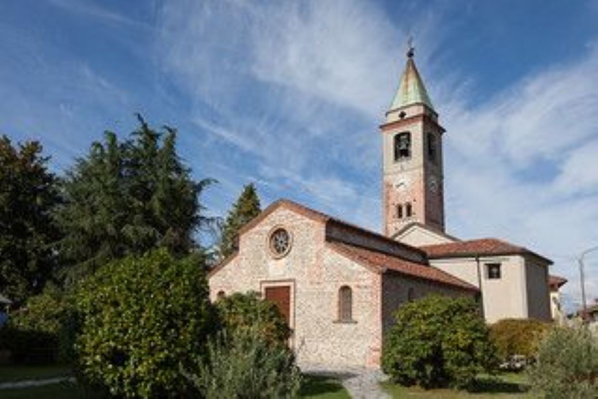
File:MandelloVitta_panorama_est.jpg · Wikimedia Commons · See Wikimedia Commons
Key facts
- Country
- Italy
- Region
- Piedmont
- Province
- Novara (NO)
- Mayor
- Paolo Patrioli
- Total
- 5.85 km (2.26 sq mi)
- Elevation
- 175 m (574 ft)
- Density
- 40.0/km (104/sq mi)
- Demonym
- Mandellesi
- Time zone
- UTC+1 ( CET )
- Summer dst
- UTC+2 ( CEST )
- Dialing code
- 0321
- Istat code
- 003090
- Patron saint
- Saint Lawrence
- Saint day
- 10 August
- Website
- Official website
via Wikipedia infobox
Official website
Comune di Mandello Vitta | Comune di Mandello Vitta
Benvenuto nel Sito Istituzionale del Comune di Mandello Vitta
comune.mandellovitta.no.it →Link to the official site · 10,809 chars · not written by Vinony
Wikidata facts
- Instance of
- comune of Italy
- Official name
- Mandello Vitta
- Demonym
- mandellesi
- Country
- Italy
- Located in
- Province of Novara
- Population
- 226
- Area
- 5.85
- Elevation
- 175
- Time zone
- UTC+02:00
- Shares border with
- Castellazzo Novarese
- Official website
- www.comune.mandellovitta.no.it
- Image
- MandelloVitta panorama est.jpg
- Dialing code
- 0321
- Licence plate code
- NO
- Patron saint
- Lawrence of Rome
Show 2 more facts
- postal code
- 28060
- Commons category
- Mandello Vitta
Sources (6)
via Wikidata · CC0
~10 min read
Encyclopedic overview
Mandello Vitta (Mandel in Piedmontese and in Lombard, IPA pronunciation: /maŋˈdɛl/) is a comune (municipality) in the Province of Novara in the Italian region Piedmont, located about 80 kilometres (50 mi) northeast of Turin and about 13 kilometres (8 mi) northwest of Novara.
The comune is located in the western part of the provincial territory that lies between the rivers Sesia and Agogna.
Excerpted from Wikipedia’s “Mandello Vitta” article, available under the CC BY-SA 4.0 licence.