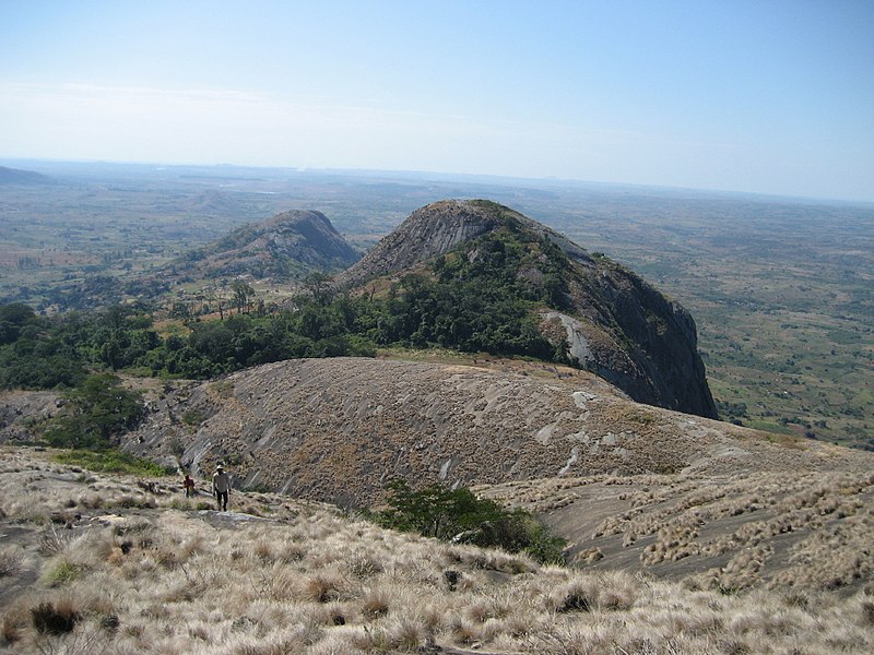
File:Looking_down_from_Mount_Zembe.jpg · Wikimedia Commons · See Wikimedia Commons
Key facts
- Country
- Mozambique
- Capital
- Chimoio
- Governor
- Francisca Domingos Tomás
- Total
- 62,272 km (24,043 sq mi)
- Highest elevation
- 2,436 m (7,992 ft)
- Density
- 31.250/km (80.937/sq mi)
- Postal code
- 22xx
- Area code
- (+258) 251
- Hdi 2019
- 0.492 , low · 3rd of 11
- Website
- www .manica .gov .mz
via Wikipedia infobox
Wikidata facts
- Instance of
- province of Mozambique
- Country
- Mozambique
- Located in
- Mozambique
- Contains
- Macossa District
- Capital
- Chimoio
- Area
- 62272.0
- Shares border with
- Manicaland Province
- Official website
- www.manica.gov.mz
- Image
- Looking down from Mount Zembe.jpg
Show 3 more facts
- Commons category
- Manica Province
- topic's main category
- Category:Manica Province
- different from
- Manica
via Wikidata · CC0
~4 min read
Encyclopedic overview
Manica is a province of Mozambique. It has an area of 62,272 km and a population of 1,945,994 (2017 census). The province is surrounded by Zimbabwe to the west, Tete Province to the northwest, Sofala Province to the east, the Save River to the south, and the Zambezi river to the northeast. Chimoio is the capital of the province. The highest mountain in Mozambique, Mount Binga (2436 m), lies in this province on the border with Zimbabwe. The Manica province is divided into nine districts and 34 administrative regions.
History
Excerpted from Wikipedia’s “Manica Province” article, available under the CC BY-SA 4.0 licence.