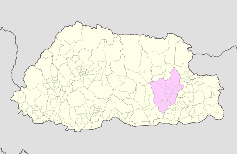
File:Mongar_Bhutan_location_map.png · Wikimedia Commons · See Wikimedia Commons
distretto di Mongar
Sign in to savedistretto bhutanese
Key facts
- Country
- Bhutan
- District
- Mongar District
- Total
- 2,859 km (1,104 sq mi)
- Elevation
- 1,600 m (5,200 ft)
- Density
- 12.99/km (33.65/sq mi)
- Time zone
- UTC+6 ( BTT )
- Hdi 2019
- 0.602 , medium · 17th of 20
- Website
- www .mongar .gov .bt
via Wikipedia infobox
Wikidata facts
- Instance of
- district of Bhutan
- Country
- Bhutan
- Located in
- Bhutan
- Capital
- Mongar
- Population
- 37150
- Elevation
- 1.6
- Official website
- mongar.gov.bt
- Image
- Samten Chöling, Tsakaling.jpg
Show 7 more facts
- topic's main category
- Category:Mongar District
- Commons category
- Mongar District
- language used
- Tshangla
- male population
- 18247
- female population
- 18903
- urban population
- 10297
- rural population
- 26853
via Wikidata · CC0
Article · Italiano
Mongar è uno dei 20 distretti (dzongkhag) che costituiscono il Bhutan. Il distretto appartiene al orientale.
Abstract from DBpedia / Wikipedia · CC BY-SA