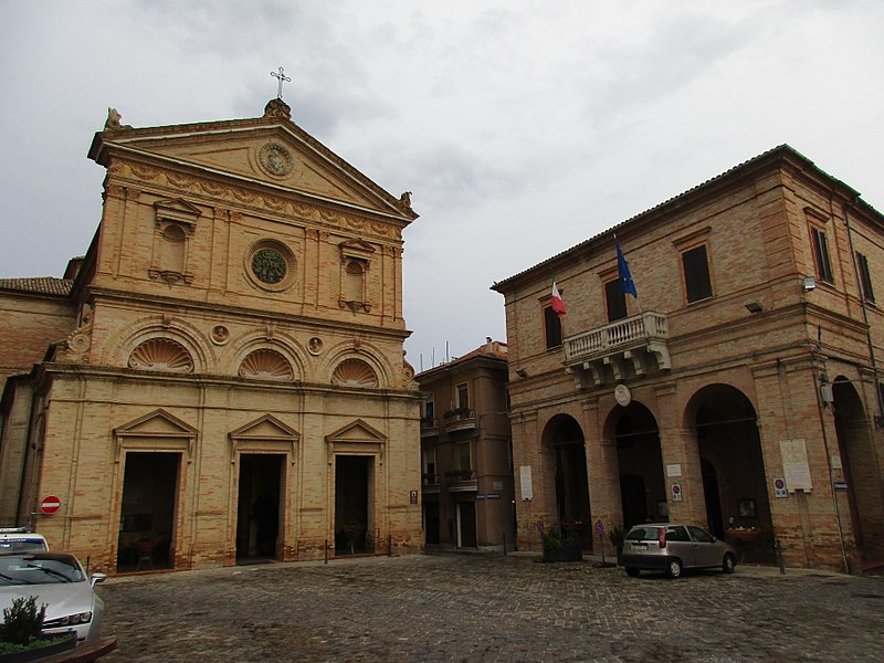
File:MonteUrano_2017_01.jpg · Wikimedia Commons · See Wikimedia Commons
Key facts
- Country
- Italy
- Region
- Marche
- Province
- Fermo (FM)
- Mayor
- Moira Canigola
- Total
- 16.7 km (6.4 sq mi)
- Elevation
- 247 m (810 ft)
- Density
- 492/km (1,280/sq mi)
- Demonym
- Monturanesi
- Time zone
- UTC+1 ( CET )
- Summer dst
- UTC+2 ( CEST )
- Dialing code
- 0734
- Website
- Official website
via Wikipedia infobox
Wikidata facts
- Instance of
- comune of Italy
- Official name
- Monte Urano
- Demonym
- monturanesi
- Country
- Italy
- Located in
- Province of Ascoli Piceno
- Population
- 7812
- Area
- 16.72
- Elevation
- 247
- Time zone
- UTC+02:00
- Shares border with
- Montegranaro
- Official website
- www.comune.monteurano.fm.it
- Image
- MonteUrano 2017 01.jpg
- Dialing code
- 0734
- Licence plate code
- FM
- Patron saint
- Archangel Michael
Show 3 more facts
- twinned administrative body
- Formigine
- Commons category
- Monte Urano
- postal code
- 63813
Sources (6)
via Wikidata · CC0
~1 min read
Encyclopedic overview
Monte Urano (formerly also called Monteurano or Monturano) is a comune (municipality) in the Province of Fermo in the Italian region Marche, located about 50 kilometres (31 mi) south of Ancona and about 7 kilometres (4 mi) north of Fermo.
Monte Urano borders the following municipalities: Fermo, Montegranaro, Sant'Elpidio a Mare, Torre San Patrizio.
Excerpted from Wikipedia’s “Monte Urano” article, available under the CC BY-SA 4.0 licence.