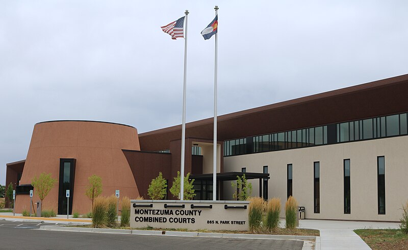
File:Montezuma_County_Combined_Courts.JPG · Wikimedia Commons · See Wikimedia Commons
Montezuma County
Sign in to saveAlso known as Montezuma County, Colorado, Montezuma County, CO
county in Colorado, United States
Montezuma County is a county located in Colorado in the southwestern part of the state. It matters because it is home to significant historical and cultural sites, including Mesa Verde National Park, which contains important Native American archaeological ruins.
AI-generated from the Wikipedia summary — may contain errors.
Key facts
- Country
- United States
- State
- Colorado
- Founded
- April 16, 1889
- Named after
- Moctezuma II
- Seat
- Cortez
- Largest city
- Cortez
- Total
- 2,040 sq mi (5,300 km )
- Land
- 2,030 sq mi (5,300 km )
- Water
- 11 sq mi (28 km ) 0.5%
- Estimate 2025
- 26,678
- Density
- 12.7/sq mi (4.92/km )
- Time zone
- UTC−7 ( Mountain )
- Summer dst
- UTC−6 ( MDT )
- Congressional district
- 3rd
- Website
- montezumacounty .org
via Wikipedia infobox
Wikidata facts
- Named after
- Moctezuma II
- Country
- United States
- Located in
- Colorado
- Contains
- Cortez
- Capital
- Cortez
- Population
- 25849
- Area
- 5284
- Shares border with
- San Juan County
- Official website
- montezumacounty.org
- Image
- Montezuma County Courthouse.jpg
- Households
- 10521
Show 8 more facts
- native label
- Montezuma County
- Commons category
- Montezuma County, Colorado
- topic's main category
- Category:Montezuma County, Colorado
- water as percent of area
- 0.5
- inception
- 1889-04-00
- different from
- Montezuma
- per capita income
- 26564
- category of associated people
- Category:People from Montezuma County, Colorado
Sources (10)
via Wikidata · CC0
~9 min read
Encyclopedic overview
Prehistoric petroglyphs in Mesa Verde National Park Castle, Hovenweep National Monument
Montezuma County is a county located in the southwest corner of the U.S. state of Colorado. As of the 2020 census, the population was 25,849. The county seat is Cortez. Montezuma County contains many archaeologically significant Amerindian structures, which notably can be found in Mesa Verde National Park, Canyons of the Ancients National Monument, Yucca House National Monument, and Hovenweep National Monument. Montezuma County is also home to most of the Ute Mountain Indian Reservation, home of the Weeminuche Band of the Ute Nation, known as the Ute Mountain Ute Tribe, with its headquarters at Towaoc.
Excerpted from Wikipedia’s “Montezuma County” article, available under the CC BY-SA 4.0 licence.