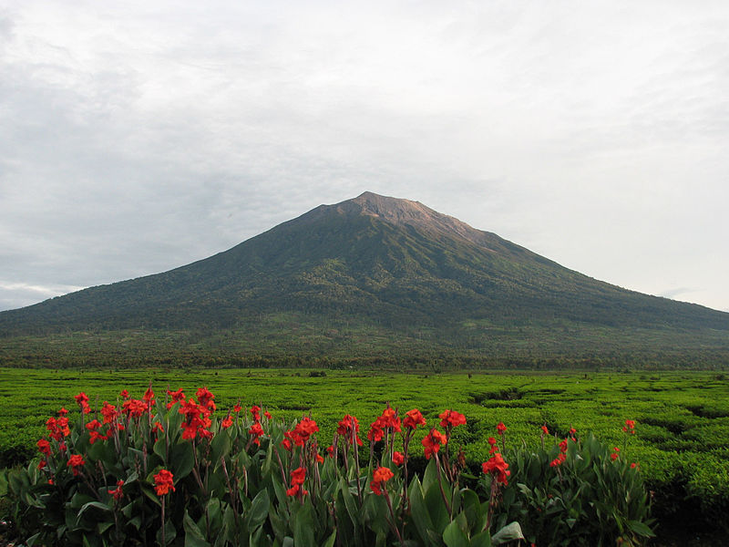
File:Uprising-mount_kerinci.jpg · Wikimedia Commons · See Wikimedia Commons
Key facts
- Elevation
- 3,805 m (12,484 ft)
- Prominence
- 3,805 m (12,484 ft), Ranked 33rd
- Isolation
- 1,904.03 km (1,183.11 mi)
- Listing
- Island high point , Ultra , Ribu
- Parent range
- Barisan Mountains
- Mountain type
- Stratovolcano
- Volcanic arc
- Sunda Arc
- First ascent
- December 1877 by Arend Ludolf van Hasselt and Daniël David Veth
via Wikipedia infobox
Wikidata facts
- Instance of
- stratovolcano
- Country
- Indonesia
- Located in
- Kerinci
- Continent
- Asia
- Elevation
- 3805
- Time zone
- UTC+07:00
- Image
- Uprising-mount kerinci.jpg
- Significant event
- first ascent
Show 6 more facts
- Commons category
- Mount Kerinci
- topographic prominence
- 3805
- topographic isolation
- 1904.03
- mountain range
- Barisan Mountains
- located in/on physical feature
- Sumatra
- different from
- Gunung Kerinci
Sources (2)
via Wikidata · CC0
~4 min read
Encyclopedic overview
Mount Kerinci (Kerinci: Gunung Kincai, Minangkabau: Gunuang Kurinci, Indonesian: Gunung Kerinci), also spelled Kerintji, is an active stratovolcano and the highest mountain in Sumatra, Indonesia. At 3,805 metres (12,484 ft) above sea level, it provides Sumatra with the fifth-highest maximum elevation of any island in the world. It is surrounded by the lush forest of Kerinci Seblat National Park, home to several endangered species including the Sumatran tiger. Mount Kerinci is ranked 32nd by topographic isolation.
Geography
Excerpted from Wikipedia’s “Mount Kerinci” article, available under the CC BY-SA 4.0 licence.