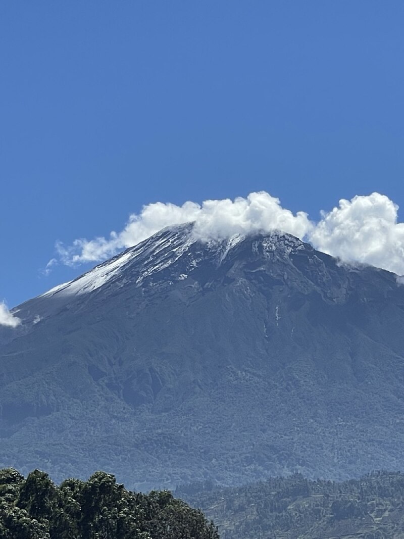
File:Mount_meru_with_snow,_Arusha_Region,_Tanzania.jpg · Wikimedia Commons · See Wikimedia Commons
Key facts
- Elevation
- 4,562.13 m (14,967.6 ft)
- Prominence
- 3,170 m (10,400 ft) , Ranked 72nd
- Listing
- Ultra , Mountains of Africa 8th
- Location
- Arusha Region , Tanzania
- Formed by
- Volcanism along the Gregory Rift
- Mountain type
- Stratovolcano
- Last eruption
- October to December 1910
- First ascent
- 1904 by Fritz Jäger
- Easiest route
- Hike
via Wikipedia infobox
Wikidata facts
- Instance of
- summit
- Part of
- Great Rift Valley
- Country
- Tanzania
- Located in
- Arumeru District
- Elevation
- 4562.13
- Image
- Meru.jpg
- Significant event
- first ascent
Show 5 more facts
- Commons category
- Mount Meru
- topographic prominence
- 3170
- topographic isolation
- 70
- located in/on physical feature
- Great Rift Valley
- different from
- Meru
Sources (1)
via Wikidata · CC0
~2 min read
Encyclopedic overview
Mount Meru is a dormant stratovolcano located 70 kilometres (43 mi) west of Kilimanjaro in southeast Arusha Region, Tanzania. At a height of 4,562.13 metres (14,968 ft), it is visible from Mount Kilimanjaro on a clear day, and is the eighth-highest mountain of Africa.
Mount Meru is located just north of the city of Arusha, in the Arusha Region of Tanzania. It is the second-highest mountain in Tanzania, after Mount Kilimanjaro, and the highest mountain in Arusha Region. The Momella route – which starts at Momella gate, on the eastern side of the mountain – is the most common route for climbers to reach the peak. The peak is called "Socialist Peak".
Excerpted from Wikipedia’s “Mount Meru” article, available under the CC BY-SA 4.0 licence.