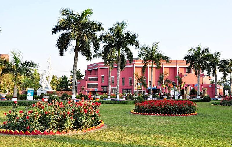
File:Bangladesh_Agricultural_University_(BAU).jpg · Wikimedia Commons · See Wikimedia Commons
Mymensingh Division
Sign in to savedivision of Bangladesh
Key facts
- Country
- Bangladesh
- Capital and largest city
- Mymensingh
- Parliamentary constituency
- Jatiya Sangsad ( 24 seats )
- Division of bangladesh
- 10,584.06 km (4,086.53 sq mi)
- Density
- 1,155.081/km (2,991.647/sq mi)
- Urban
- 2,731,415
- Rural
- 9,493,331
- Metro
- 576,927
- Adjusted population
- 12,637,472
- Time zone
- UTC+6 ( BST )
- Iso 3166 code
- BD-H
- Hdi 2019
- 0.594 , medium
- Website
- www .mymensinghdiv .gov .bd
via Wikipedia infobox
Wikidata facts
- Instance of
- division of Bangladesh
- Country
- Bangladesh
- Located in
- Bangladesh
- Contains
- Sherpur District
- Capital
- Mymensingh
- Population
- 11370000
- Area
- 10584.06
- Shares border with
- Meghalaya
- Official website
- www.mymensinghdiv.gov.bd
- Image
- ময়মনসিংহের পটভূমি.jpg
Show 4 more facts
- Commons category
- Mymensingh Division
- topic's main category
- Category:Mymensingh Division
- inception
- 2015-09-14
- language used
- Garo
via Wikidata · CC0
~3 min read
Encyclopedic overview
Mymensingh Division (Bengali: ময়মনসিংহ বিভাগ; Bengali pronunciation: [mɔ͡ɛmonʃiŋ bibʰag]) is one of the eight administrative divisions of Bangladesh. It has an area of 10,485 square kilometres (4,048 sq mi) and a population of 12,225,498 as of the 2022 census. It was formed in 2015 from districts previously composing the northern part of Dhaka Division. Its headquarters are in Mymensingh city in Mymensingh District. Mymensingh has four districts which it governs, Mymensingh District, Jamalpur District, Netrokona District, and Sherpur District.
History
Excerpted from Wikipedia’s “Mymensingh Division” article, available under the CC BY-SA 4.0 licence.