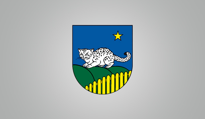
Official website (http://www.nagov.sk/)
Ňagov
Sign in to saveŇagov (; ) is a village and municipality in the Medzilaborce District in the Prešov Region of far north-eastern Slovakia.
Key facts
- Slovak place.name
- Ňagov
- Slovak place.settlement_type
- Municipality
- Slovak place.image_skyline
- Ňagov (kostol) 1.jpg
- Slovak place.image_flag
- Nagov-medzilaborce-flag.svg
- Slovak place.subdivision_type1
- Region
- Slovak place.subdivision_type2
- District
- Slovak place.subdivision_name2
- Medzilaborce District
- Slovak place.pushpin_map
- Slovakia Prešov Region#Slovakia
- Slovak place.pushpin_relief
- 1
- Slovak place.pushpin_map_caption
- Location of Ňagov in the Prešov Region##Location of Ňagov in Slovakia
- Slovak place.established_title
- First mentioned
- Slovak place.established_date
- 1557
- Slovak place.elevation_m
- 355
- Slovak place.postal_code_type
- Postal code
- Slovak place.postal_code
- 680 1
- Slovak place.area_code
- +421 57
- Slovak place.registration_plate
- ML
via Wikipedia infobox
Official website
Obec Ňagov | Oficiálne stránky
Vitajte na oficiálnych internetových stránkach obce Obec Ňagov.
nagov.sk →Link to the official site · 40,000 chars · not written by Vinony
Wikidata facts
- Instance of
- municipality of Slovakia
- Official name
- Ňagov
- Country
- Slovakia
- Located in
- Medzilaborce District
- Population
- 353
- Area
- 9.658681
- Elevation
- 355
- Official website
- www.nagov.sk
- Image
- Ňagov (kostol) 1.jpg
- Dialing code
- 057
- Licence plate code
- ML
Show 5 more facts
- Commons category
- Ňagov
- postal code
- 068 01 (pošta Medzilaborce)
- time of earliest written record
- 1557-00-00
- native label
- Ňagov
- inception
- 1557-00-00
Sources (2)
via Wikidata · CC0
~1 min read
Encyclopedic overview
6 sectionsContents
- History
- Geography
- Population
- Ethnicity
- Religion
- References
Ňagov (; ) is a village and municipality in the Medzilaborce District in the Prešov Region of far north-eastern Slovakia.
==History== In historical records, the village is first mentioned in 1557. Before the establishment of independent Czechoslovakia in 1918, Ňagov was part of Zemplén County within the Kingdom of Hungary. From 1939 to 1944, it was part of the Slovak Republic. On 29 October 1944, the Red Army dislodged the Wehrmacht from Ňagov and it was once again part of Czechoslovakia.
Excerpted from Wikipedia’s “Ňagov” article, available under the CC BY-SA 4.0 licence.
On the map
2 mapped locations