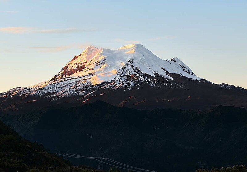
File:Antisana.jpg · Wikimedia Commons · See Wikimedia Commons
Key facts
- Country
- Ecuador
- Established
- October 22, 1959
- Capital
- Tena
- Cantons
- List of Cantons
- Provincial prefect
- José Toapanta
- Province
- 12,513 km (4,831 sq mi)
- Density
- 10.523/km (27.255/sq mi)
- Urban
- 44,675
- Time zone
- UTC-5 ( ECT )
- Vehicle registration
- N
- Hdi 2017
- 0.731 , high · 11th
- Website
- www .gobernacionnapo .gob .ec
via Wikipedia infobox
Wikidata facts
- Instance of
- province of Ecuador
- Official name
- Provincia de Napo
- Demonym
- napense
- Country
- Ecuador
- Located in
- Ecuador
- Capital
- Tena
- Official language
- Waorani
- Population
- 24253
- Area
- 12542.22
- Time zone
- UTC−05:00
- Shares border with
- Pichincha Province
- Highest point
- Antisana volcano
- Official website
- www.napo.gob.ec
- Dialing code
- 06
- Licence plate code
- N
Show 5 more facts
- postal code
- EC15
- Commons category
- Napo Province
- topic's main category
- Category:Napo Province
- inception
- 1959-11-10
- office held by head of government
- prefect
via Wikidata · CC0
~1 min read
Encyclopedic overview
Napo ( Spanish pronunciation: [ˈnapo]) is a province of Ecuador. Its capital is Tena. The province is named after the Napo River. The province is not well developed and does not have much industrial presence. The thick rainforest is home to many natives that remain isolated by preference, descendants of those who fled the Spanish invasion in the Andes, and the Incas years before. In 2000, the province was the sole remaining majority-indigenous province of Ecuador, with 56.3% of the province either claiming indigenous identity or speaking an indigenous language.
This province is one of the many located in Ecuador's section of the Amazon rainforest.
Excerpted from Wikipedia’s “Napo Province” article, available under the CC BY-SA 4.0 licence.