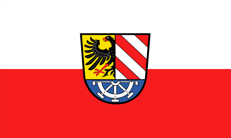
File:Flagge_Nürnberger_Land.svg · Wikimedia Commons · See Wikimedia Commons
Nürnberger Land
Sign in to savedistrict in Bavaria, Germany
In the Vinony graph
Within Vinony's link graph, Nürnberger Land is referenced by 314 other articles, and connects out to Germany, list of sovereign states and Munich.
The entry is geolocated on the map.
Vinony files it under Districts of Bavaria, Districts of Middle Franconia and Geography articles needing translation from German Wikipedia.
Its subject is documented across 47 Wikipedia language editions.
Key facts
- Country
- Germany
- State
- Bavaria
- Adm region
- Middle Franconia
- Capital
- Lauf an der Pegnitz
- District admin
- Armin Kroder ( FW )
- Total
- 800 km (310 sq mi)
- Density
- 210/km (550/sq mi)
- Time zone
- UTC+01:00 ( CET )
- Summer dst
- UTC+02:00 ( CEST )
- Vehicle registration
- LAU, ESB, HEB, N, PEG
- Website
- nuernberger-land.de
via Wikipedia infobox
Wikidata facts
- Country
- Germany
- Located in
- Middle Franconia
- Contains
- Haimendorfer Forst
- Capital
- Lauf an der Pegnitz
- Population
- 168893
- Area
- 800.00
- Elevation
- 355
- Time zone
- UTC+02:00
- Shares border with
- Forchheim District
- Official website
- www.nuernberger-land.de
- Licence plate code
- N
Show 6 more facts
- topic's main category
- Category:Nürnberger Land
- Commons category
- Landkreis Nürnberger Land
- P11012
- glider competition class
- category of associated people
- Category:People from Nürnberger Land
- inception
- 1972-07-01
- female population
- 86419
via Wikidata · CC0
~1 min read
Encyclopedic overview
Nürnberger Land is a Landkreis (district) in Bavaria, Germany. It is bounded by (from the north and clockwise) the districts of Forchheim, Bayreuth, Amberg-Sulzbach, Neumarkt, Roth and Erlangen-Höchstadt, and by the city of Nuremberg.
History
Excerpted from Wikipedia’s “Nürnberger Land” article, available under the CC BY-SA 4.0 licence.