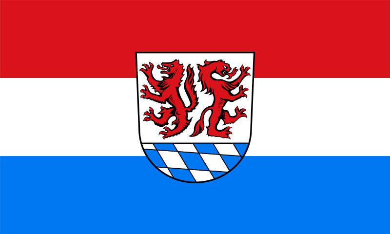
File:Flagge_Landkreis_Passau.svg · Wikimedia Commons · See Wikimedia Commons
Key facts
- Country
- Germany
- State
- Bavaria
- Adm region
- Lower Bavaria
- Capital
- Passau
- District admin
- Raimund Kneidinger ( CSU )
- Total
- 1,530.28 km (590.84 sq mi)
- Density
- 127.231/km (329.527/sq mi)
- Time zone
- UTC+01:00 ( CET )
- Summer dst
- UTC+02:00 ( CEST )
- Vehicle registration
- PA
- Website
- www .landkreis-passau .de
via Wikipedia infobox
Official website
www.landkreis-passau.de | Landkreis Passau
Homepage des Landkreises Passau, Landkreis Passau, Landratsamt Passau
landkreis-passau.de →Link to the official site · 14,079 chars · not written by Vinony
Wikidata facts
- Official name
- Bezirksamt Passau
- Country
- Germany
- Located in
- Lower Bavaria
- Contains
- Bad Griesbach im Rottal
- Capital
- Passau
- Population
- 188904
- Area
- 557.57
- Elevation
- 364
- Time zone
- UTC+02:00
- Official website
- www.landkreis-passau.de
- Households
- 7308
- Licence plate code
- PA
Show 9 more facts
- Commons category
- Landkreis Passau
- topic's main category
- Category:Passau (district)
- member of
- Climate Alliance
- category of associated people
- Category:People from Passau (district)
- male population
- 95471
- female population
- 18123
- inception
- 1862-07-01
- number of houses
- 6016
- topic has template
- Template:Cities and towns in Passau
via Wikidata · CC0
Article · Español
Passau es uno de los 71 distritos en que está dividido administrativamente el estado alemán de Baviera. El distrito rural (Landkreis) Passau es parte del distrito administrativo (Regierungsbezirk) de la Baja Baviera. Limita con los distritos rurales Freyung-Grafenau, en el oeste con Rottal-Inn y en el noreste con Deggendorf. En la frontera este se ubica el distrito Rohrbach y al sur el distrito Schärding, los cuales pertenecen a la Alta Austria. Según su área, el distrito rural de Passau es el tercero más grande de la Baviera y según la población el quinto más poblado.
Abstract from DBpedia / Wikipedia · CC BY-SA