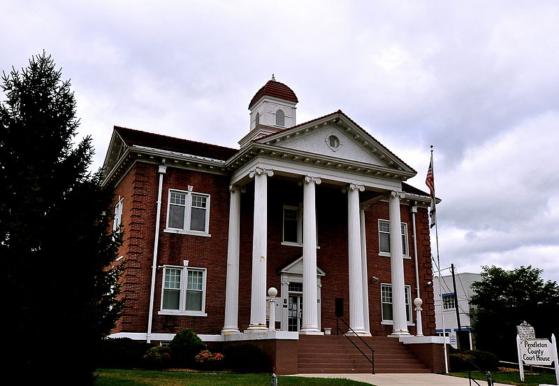
File:Pendleton_County_Courthouse,_West_Virginia.JPG · Wikimedia Commons · See Wikimedia Commons
Pendleton County
Sign in to saveAlso known as Pendleton County, West Virginia, Pendleton County, Virginia, Pendleton County, WV
county in West Virginia, United States
Key facts
- Country
- United States
- State
- West Virginia
- Founded
- May 1, 1788
- Named after
- Edmund Pendleton
- Seat
- Franklin
- Largest town
- Franklin
- Total
- 698 sq mi (1,810 km )
- Land
- 696 sq mi (1,800 km )
- Water
- 2.1 sq mi (5.4 km ) 0.3%
- Estimate 2025
- 5,826
- Density
- 8.83/sq mi (3.41/km )
- Time zone
- UTC−5 ( Eastern )
- Summer dst
- UTC−4 ( EDT )
- Congressional district
- 2nd
- Website
- pencowv .com
via Wikipedia infobox
~12 min read
Encyclopedic overview
Pendleton County is a county located in the U.S. state of West Virginia. As of the 2020 census, the population was 6,143, making it the second-least populous county in West Virginia. Its county seat is Franklin. The county was created by the Virginia General Assembly in 1788 from parts of Augusta, Hardy, and Rockingham counties and was named for Edmund Pendleton (1721–1803), a distinguished Virginia statesman and jurist.
Spruce Knob, located in Pendleton County, is the highest point in the state and in the Alleghenies, its elevation being 4,863 feet. Parts of the Monongahela and George Washington National Forests are also located in Pendleton County.
Excerpted from Wikipedia’s “Pendleton County” article, available under the CC BY-SA 4.0 licence.