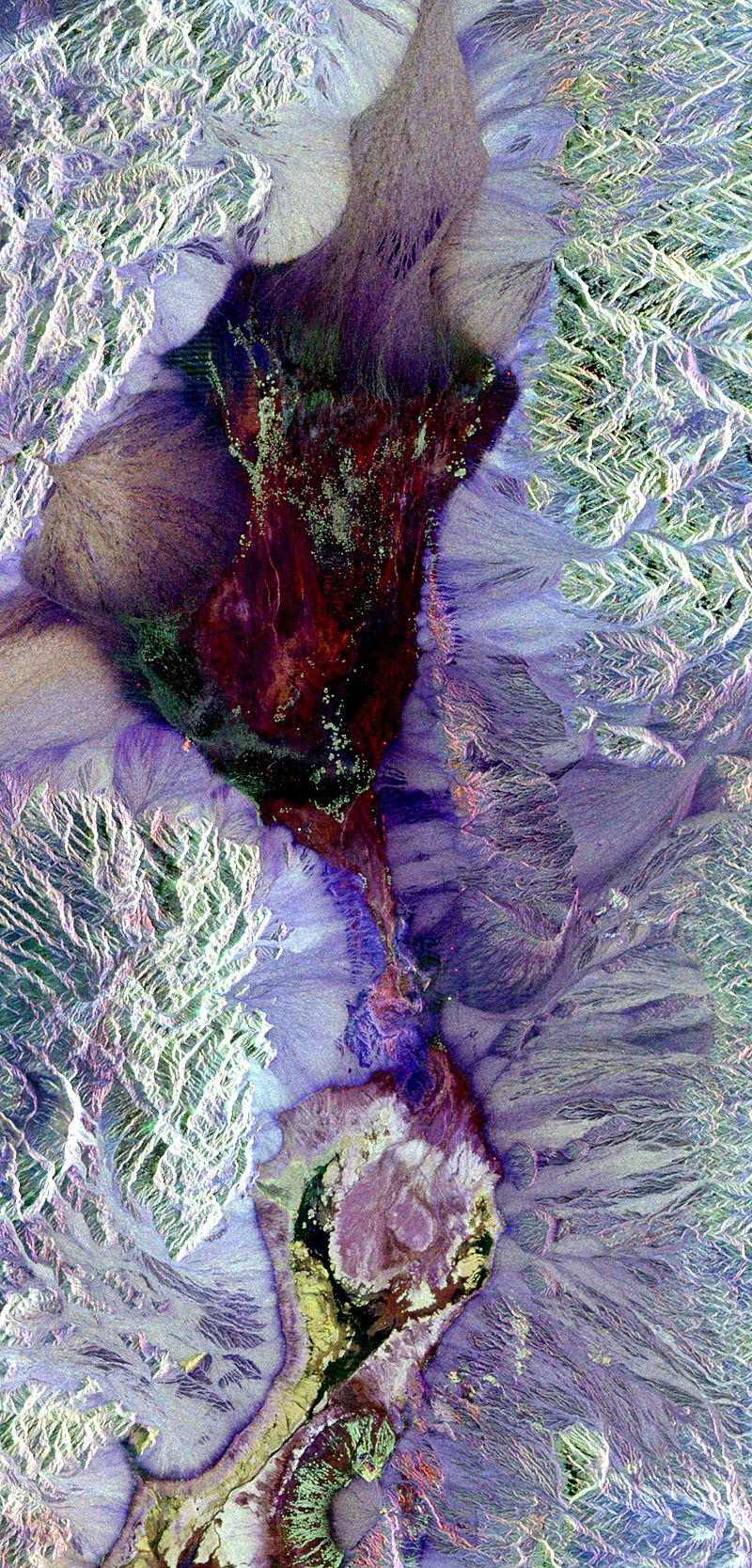
File:Death-valley-sar.jpg · Wikimedia Commons · See Wikimedia Commons
telerilevamento
Sign in to saveAlso known as Remote Sensing, remote sensing technology
rilevamento a distanza
Remote sensing is a way of gathering information about something—like the Earth's surface—without actually touching it or being physically present there. It matters because it lets scientists and organizations study large areas quickly and safely, monitoring things like weather patterns, land use, environmental changes, and natural disasters from a distance.
AI-generated from the Wikipedia summary — may contain errors.
Research
29,757 papers- Untethered Micro/Nanorobots for Remote Sensing: Toward Intelligent Platform.ReviewNano-micro letters · 2023Wang Q, Yang S, Zhang LDOI: 10.1007/s40820-023-01261-9
- Remote sensing and modeling fusion for investigating the ecosystem water-carbon coupling processes.ReviewThe Science of the total environment · 2019Sun P, Wu Y, Xiao J et al.DOI: 10.1016/j.scitotenv.2019.134064
- Remote Sensing Techniques for Water Quality Monitoring: A Review.ReviewSensors (Basel, Switzerland) · 2024Jaywant SA, Arif KMDOI: 10.3390/s24248041
- UAV remote sensing applications in marine monitoring: Knowledge visualization and review.ReviewThe Science of the total environment · 2022Yang Z, Yu X, Dedman S et al.DOI: 10.1016/j.scitotenv.2022.155939
- Optical Remote Sensing in Provisioning of Ecosystem-Functions Analysis-Review.ReviewSensors (Basel, Switzerland) · 2023Vyvlečka P, Pechanec VDOI: 10.3390/s23104937
- Remote Sensing Approaches for Meteorological Disaster Monitoring: Recent Achievements and New Challenges.ReviewInternational journal of environmental research and public health · 2022Ye PDOI: 10.3390/ijerph19063701
- Remote sensing for mapping algal blooms in freshwater lakes: a review.ReviewEnvironmental science and pollution research international · 2023Rolim SBA, Veettil BK, Vieiro AP et al.DOI: 10.1007/s11356-023-25230-2
- Remote sensing and GIS applications for municipal waste management.ReviewJournal of environmental management · 2019Singh ADOI: 10.1016/j.jenvman.2019.05.017
via PubMed
Wikidata facts
- Instance of
- branch of science
- Image
- Remote Sensing Illustration.jpg
Show 8 more facts
- Commons category
- Remote sensing
- topic's main category
- Category:Remote sensing
- used by
- Earth observation
- on focus list of Wikimedia project
- Wikipedia:Vital articles/Level/4
- described at URL
- www.fe-lexikon.info/lexikon/fernerkundung
- different from
- remote viewing
- facet of
- Earth observation
via Wikidata · CC0
Article · Italiano
Il telerilevamento (in inglese remote sensing) è la disciplina tecnico-scientifica o scienza applicata con finalità diagnostico-investigative che permette di ricavare informazioni, qualitative e quantitative, sull'ambiente e su oggetti posti a distanza da un sensore mediante misure di radiazione elettromagnetica (emessa, riflessa o trasmessa) che interagisce con le superfici fisiche di interesse. Esso utilizza foto o dati numerici rilevati da aerei, satelliti, droni di tipo UAV o sonde spaziali per caratterizzare la superficie di un pianeta nei suoi parametri di interesse (in questo caso si parla di monitoraggio ambientale) con applicazioni sia in campo civile che militare. Appartiene dunque al più vasto ambito disciplinare del cosiddetto settore della "geoinformazione" anche se in esso possono essere inclusi sistemi e tecniche di telerilevamento spaziale. L'osservazione della terra dallo spazio ha viaggiato e viaggia tuttora di pari passo con lo sviluppo dei satelliti artificiali (nello specifico i satelliti per telerilevamento), delle telecomunicazioni satellitari e dei sensori di rilevazione.
Abstract from DBpedia / Wikipedia · CC BY-SA
Gallery (8)
Available in 64 languages
- Español
- Français
- Deutsch
- 中文
- 日本語
- Русский
- Português
- Italiano
- العربية
- हिन्दी
- Aragonese
- Armenian
- Assamese
- Asturian
- Awadhi
- Azerbaijani
- Bahasa Indonesia
- Bangla
Show 45 more
- Basque
- Belarusian
- Bhojpuri
- Bosnian
- Bulgarian
- Catalan
- Croatian
- Czech
- Danish
- Esperanto
- Estonian
- Finnish
- Galician
- Greek
- Hebrew
- Hungarian
- Icelandic
- Irish
- Kazakh
- Lithuanian
- Luxembourgish
- Malay
- Malayalam
- Minangkabau
- Nederlands
- Nepali
- Norwegian
- Occitan
- Polski
- Romanian
- Serbian
- Serbian (Latin)
- Sinhala
- Slovak
- Svenska
- Tamil
- Telugu
- Tiếng Việt
- Türkçe
- Ukrainian
- Wu Chinese
- zh_yue
- فارسی
- ไทย
- 한국어
via Wikidata sitelinks · CC0