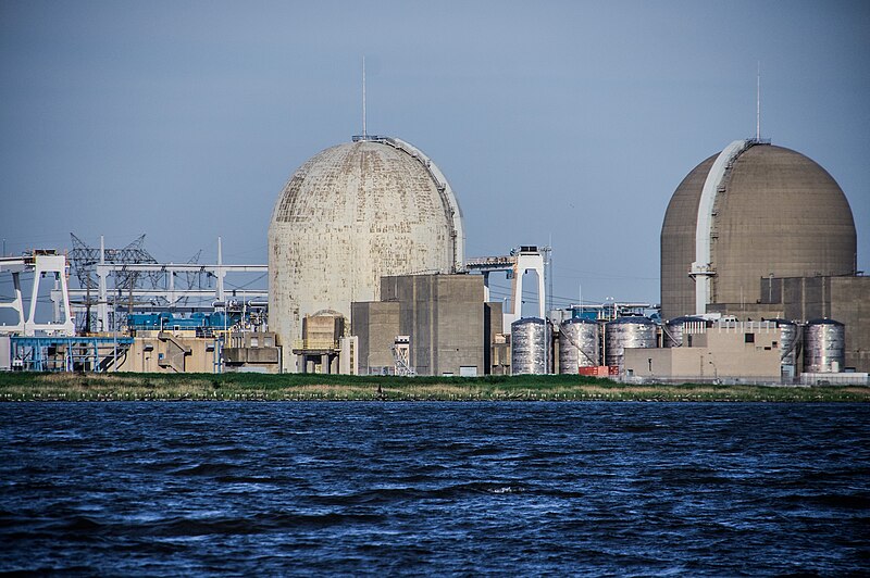
File:Salem_Nuclear_Power_Plant.jpg · Wikimedia Commons · See Wikimedia Commons
Salem County
Sign in to saveAlso known as Salem County, New Jersey, Salem County, NJ
county in New Jersey, United States
Key facts
- Country
- United States
- State
- New Jersey
- Named after
- Hebrew word meaning "peace"
- Seat
- Salem
- Largest municipalities
- Pennsville Township (population), Lower Alloways Creek Township (area)
- County commission director
- Ben H. Laury ( R , term ends December 31, 2024)
- Total
- 372.55 sq mi (964.9 km )
- Land
- 331.86 sq mi (859.5 km )
- Water
- 40.69 sq mi (105.4 km ) 10.9%
- Estimate 2025
- 66,280
- Density
- 195.37/sq mi (75.435/km )
- Time zone
- UTC−5 ( Eastern )
- Summer dst
- UTC−4 ( EDT )
- Congressional district
- 2nd
- Website
- salemcountynj .gov
via Wikipedia infobox
Wikidata facts
- Country
- United States
- Located in
- New Jersey
- Contains
- Upper Pittsgrove Township
- Capital
- Salem
- Population
- 64837
- Area
- 965
- Time zone
- Eastern Time Zone
- Shares border with
- Cumberland County
- Official website
- www.salemcountynj.gov
- Image
- Salem, New Jersey (7235297702).jpg
- Households
- 24414
Show 8 more facts
- topic's main category
- Category:Salem County, New Jersey
- Commons category
- Salem County, New Jersey
- inception
- 1694-00-00
- category of associated people
- Category:People from Salem County, New Jersey
- different from
- Salem
- water as percent of area
- 10.86
- native label
- Salem County
- per capita income
- 33575
Sources (9)
via Wikidata · CC0
~17 min read
Encyclopedic overview
Salem County is the westernmost county in the U.S. state of New Jersey. Its western boundary is formed by the Delaware River, and it has the eastern terminus of the Delaware Memorial Bridge, which connects the county with New Castle, Delaware. Its county seat is Salem. The county is part of the South Jersey region of the state.
The county lies within the Philadelphia metropolitan area, also known as the Delaware Valley. As of the 2020 census, the county retained its position as the state's least-populous county, with a population of 64,837, a decrease of 1,246 (−1.9%) from the 2010 census count of 66,083. The United States Census Bureau's Population Estimates Program estimated a 2025 population of 66,280, an increase of 1,443 (+2.2%) from the 2020 decennial census. The most populous place in Salem County is Pennsville Township with 12,684 residents as of the 2020 Census. Lower Alloways Creek Township covers 72.46 square miles (187.7 km), the largest total area of any municipality.
Excerpted from Wikipedia’s “Salem County” article, available under the CC BY-SA 4.0 licence.