File:Salgir_Simferopol.jpg · Wikimedia Commons · See Wikimedia Commons
Salhyr
Sign in to saveAlso known as Salhir River, Salhir
The Salhyr or Salgir is the longest river of the Crimean Peninsula. Its length is 204 km, and its drainage basin is 3,750 km2. The average discharge of the water is 2 m3/s.
Key facts
- River.name
- Salhyr
- River.image
- Salgir Simferopol.jpg
- River.image_caption
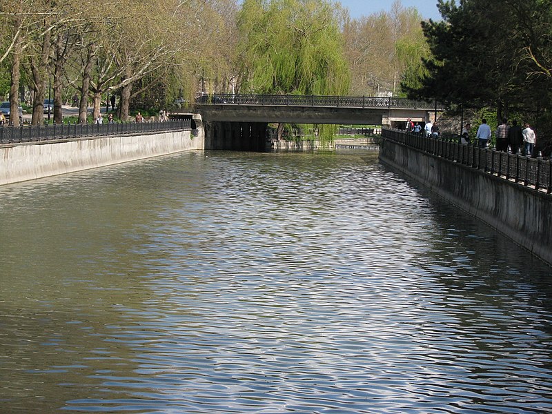
- Salhyr River flowing through Simferopol
- River.map
- Salhyr River watershed.jpg
- River.map_size
- 250
- River.map_caption
- Salhyr River watershed (Interactive map)
- River.mapframe
- yes
- River.mapframe zoom
- 7
- River.source1_location
- Chatyrdag, Crimea
- River.mouth_location
- Syvash of the Azov Sea
via Wikipedia infobox
Wikidata facts
- Instance of
- river
- Country
- Russia
- Located in
- Republic of Crimea
- Continent
- Europe
- Image
- Salgir Simferopol.jpg
- Length
- 232
Show 6 more facts
- Commons category
- Salgir River
- mouth of the watercourse
- Syvash Bay
- watershed area
- 3750
- discharge
- 2
- origin of the watercourse
- Crimean Mountains
- described by source
- Brockhaus and Efron Encyclopedic Dictionary
Sources (1)
via Wikidata · CC0
~1 min read
Encyclopedic overview
2 sectionsContents
- Notes
- References
The Salhyr or Salgir is the longest river of the Crimean Peninsula. Its length is 204 km, and its drainage basin is 3,750 km2. The average discharge of the water is 2 m3/s.
It is formed in the Chatyr-Dag mountains southeast of Simferopol, passes that town, and flows north and increasingly east to reach the Syvash of the Azov Sea. Along the way, the river passes through the North Crimean Canal, previously a large affluent water from Byuk Karasu River up north Novoivanovka (Nizhnegorsk). It is mainly used for hydroelectricity and agricultural usage.
Excerpted from Wikipedia’s “Salhyr” article, available under the CC BY-SA 4.0 licence.
Gallery (2)
On the map
2 mapped locations