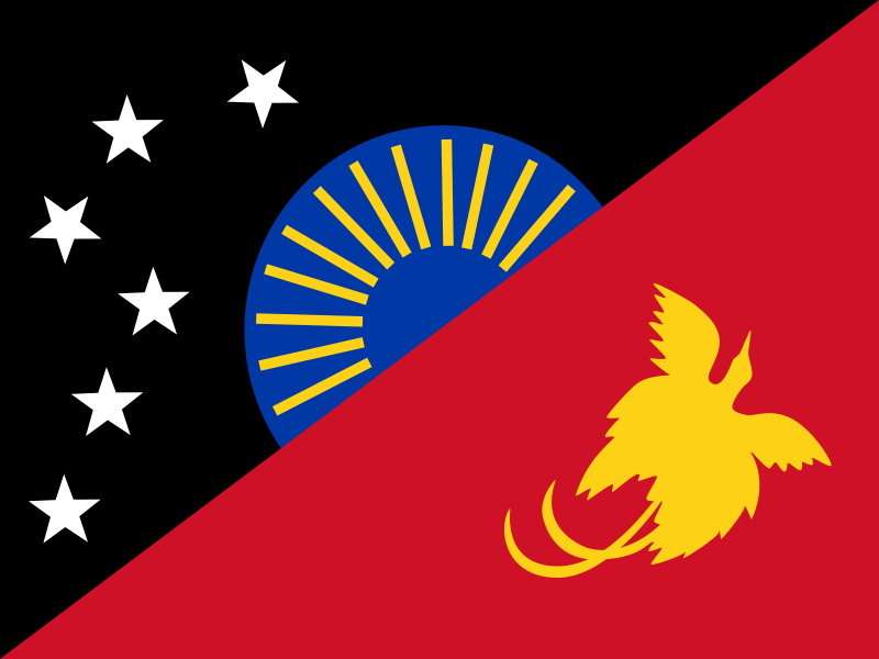
File:Flag_of_Sandaun.svg · Wikimedia Commons · See Wikimedia Commons
Sandaun Province
Sign in to saveAlso known as West Sepik, West Sepik Province, West Sepik (Sandaun) Province, WSP
province of Papua New Guinea
Key facts
- Country
- Papua New Guinea
- Region
- Momase
- Capital
- Vanimo
- Districts
- List Aitape-Lumi District Telefomin District Nuku District Vanimo-Green River District
- Governor
- Tony Wouwou (2018-Present)
- Total
- 35,820 km (13,830 sq mi)
- Density
- 10.13/km (26.23/sq mi)
- Time zone
- UTC+10 ( AEST )
- Hdi 2018
- 0.518 , low · 17th of 22
via Wikipedia infobox
Wikidata facts
- Instance of
- province of Papua New Guinea
- Country
- Papua New Guinea
- Located in
- Sepik
- Contains
- Vanimo-Green River District
- Capital
- Vanimo
- Area
- 35820
- Time zone
- UTC+10:00
- Shares border with
- Highland Papua
Show 4 more facts
- language used
- Rawo
- Commons category
- West Sepik Province (Papua New Guinea)
- topic's main category
- Category:Sandaun Province
- located in the statistical territorial entity
- Momase Region
via Wikidata · CC0
~2 min read
Encyclopedic overview
Sandaun Province (formerly West Sepik Province) is the northwesternmost mainland province of Papua New Guinea (also known as home of the sunset). It covers an area of 35,920 km (13,870 sq mi) and has a population of 248,411 (2011 census). The capital is Vanimo. In July 1998 the area surrounding the town of Aitape was hit by an enormous tsunami caused by a Magnitude 7.0 earthquake which killed over 2,000 people. The five villages along the west coast of Vanimo towards the International Border are namely; Lido, Waromo, Yako, Musu and Wutung. It borders Indonesia.
Name
Excerpted from Wikipedia’s “Sandaun Province” article, available under the CC BY-SA 4.0 licence.