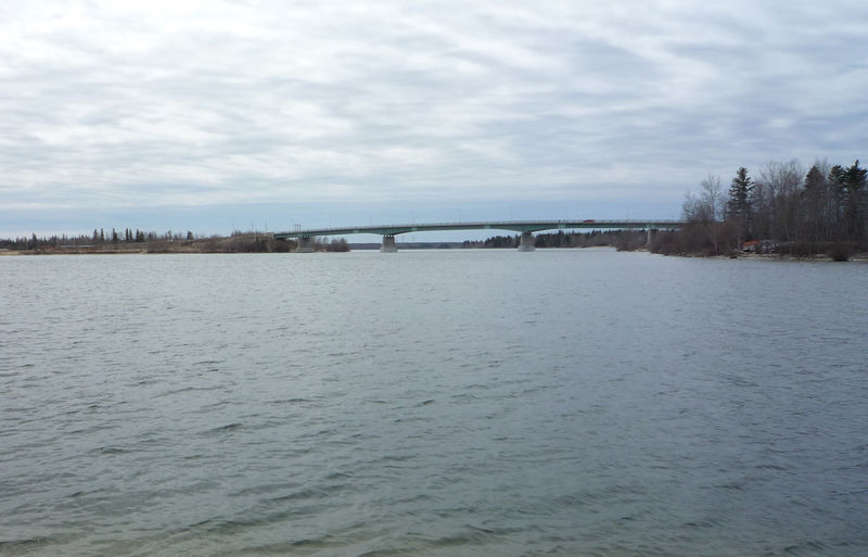
File:2009-0519-CDNtrip-005-GrandRapidsMB.jpg · Wikimedia Commons · See Wikimedia Commons
Key facts
- Country
- Canada
- Region
- Manitoba Saskatchewan
- 2nd source
- Confluence of North and South Saskatchewan Rivers
- Location
- 40 km (25 mi) east of Prince Albert, Saskatchewan
- Coordinates
- 53°14′6″N 105°4′58″W / 53.23500°N 105.08278°W / 53.23500; -105.08278
- Elevation
- 380 m (1,250 ft)
- Mouth
- Lake Winnipeg
- Length
- 547 km (340 mi)
- Basin size
- 335,900 km (129,700 sq mi)
- Average
- 634 m /s (22,400 cu ft/s)
- Minimum
- 54 m /s (1,900 cu ft/s)
- Maximum
- 3,000 m /s (110,000 cu ft/s)
- River system
- Nelson River
via Wikipedia infobox
Wikidata facts
- Instance of
- river
- Country
- Canada
- Located in
- Manitoba
- Continent
- North America
- Image
- Saskatchewan River Bridge.jpg
- Length
- 547
Show 8 more facts
- Commons category
- Saskatchewan River
- mouth of the watercourse
- Lake Winnipeg
- topic's main category
- Category:Saskatchewan River
- category for the water basin
- Category:Saskatchewan Basin
- watershed area
- 335900
- lake on watercourse
- Cedar Lake
- discharge
- 700.0
- origin of the watercourse
- North Saskatchewan River
via Wikidata · CC0
Gallery (3)
On the map
2 mapped locations