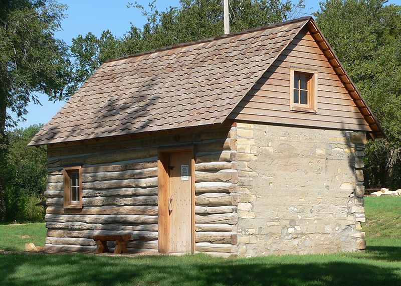
File:Home_on_the_Range_cabin_from_SE_2.JPG · Wikimedia Commons · See Wikimedia Commons
Key facts
- Country
- United States
- State
- Kansas
- Named after
- J. Nelson Smith
- Seat
- Smith Center
- Largest city
- Smith Center
- Total
- 897 sq mi (2,320 km )
- Land
- 895 sq mi (2,320 km )
- Water
- 1.5 sq mi (3.9 km ) 0.2%
- Estimate 2025
- 3,566
- Density
- 3.99/sq mi (1.54/km )
- Time zone
- UTC−6 ( Central )
- Summer dst
- UTC−5 ( CDT )
- Congressional district
- 1st
- Website
- SmithCoKS.com
via Wikipedia infobox
Wikidata facts
- Country
- United States
- Located in
- Kansas
- Contains
- Smith Center
- Capital
- Smith Center
- Population
- 3570
- Area
- 2322
- Time zone
- Central Time Zone
- Shares border with
- Phillips County
- Official website
- ks1495.cichosting.com/main
- Image
- Home on the Range cabin from SE 2.JPG
- Households
- 1664
Show 8 more facts
- Commons category
- Smith County, Kansas
- topic's main category
- Category:Smith County, Kansas
- inception
- 1872-00-00
- different from
- Smith County
- water as percent of area
- 0.2
- native label
- Smith County
- per capita income
- 29017
- category of associated people
- Category:People from Smith County, Kansas
Sources (9)
via Wikidata · CC0
Article · 日本語
スミス郡 (英: Smith County)は、アメリカ合衆国カンザス州の北部に位置する郡である。2010年国勢調査での人口は3,853人であり、2000年の4,536人から15.1%減少した。郡庁所在地は(人口1,665人)であり、同郡で人口最大の都市でもある。郡名は南北戦争中の1864年10月21日、ウェストポートの戦いで戦死した北軍コロラド第2騎兵連隊の少佐J・ネルソン・スミスに因んで名付けられた。アメリカ合衆国大陸48州の地理重心が郡内レバノン市にある。
Abstract from DBpedia / Wikipedia · CC BY-SA
Gallery (3)
On the map
26 mapped locations