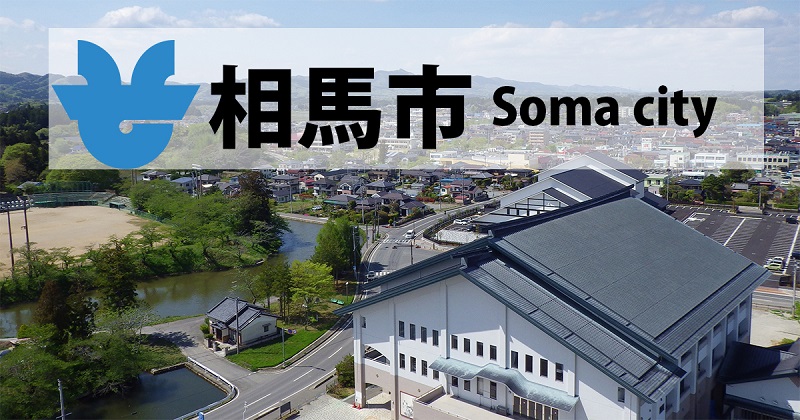
Official website (https://www.city.soma.fukushima.jp/)
Key facts
- Country
- Japan
- Region
- Tōhoku
- Prefecture
- Fukushima
- Mayor
- Hidekiyo Tachiya
- Total
- 197.79 km (76.37 sq mi)
- Density
- 175.09/km (453.48/sq mi)
- Time zone
- UTC+09:00 ( Japan Standard Time )
- Phone number
- 0244-37-2117
- Address
- 13 Nakamura Ōtesaki, Sōma-shi, Fukushima-ken 976-8601
- Climate
- Cfa
- Website
- Official website
- Bird
- Japanese bush warbler
- Flower
- Spring : sakura , Summer : rugosa rose , Autumn : balloon flower , Winter : sazanka
- Tree
- Japanese black pine
via Wikipedia infobox
Official website
ホーム/相馬市公式ホームページ
福島県相馬市の公式ホームページです。市民向けの情報に加え、観光情報ページ「Korega相馬」と子育て応援ページ「Kouma」を設け、より多くのさまざまな情報を発信していきます。
city.soma.fukushima.jp →Link to the official site · 28,312 chars · not written by Vinony
Wikidata facts
- Instance of
- city of Japan
- Country
- Japan
- Located in
- Fukushima Prefecture
- Population
- 37817
- Area
- 197.79
- Time zone
- Japan Standard Time
- Shares border with
- Marumori
- Location
- Hamadōri
- Official website
- www.city.soma.fukushima.jp
- Image
- Soma from an aeroplane.jpg
Show 10 more facts
- topic's main category
- Category:Sōma, Fukushima
- Commons category
- Soma, Fukushima
- native label
- 相馬市
- name in kana
- そうまし
- inception
- 1954-03-31
- twinned administrative body
- Toyokoro
- official symbol
- Horornis diphone
- associated electoral district
- Fukushima 4th district
- revised Hepburn romanization
- Sōma-shi
- transliteration or transcription
- Soma-shi
Sources (9)
via Wikidata · CC0
~5 min read
Encyclopedic overview
Matsukawaura Lagoon Sōma (相馬市, Sōma-shi) is a city located in Fukushima Prefecture, Japan. As of 29 February 2020, the city had an estimated population of 34,631, and a population density of 180 persons per km in 14,358 households. The total area of the city is 197.79 square kilometres (76.37 sq mi).
Geography
Excerpted from Wikipedia’s “Sōma-shi” article, available under the CC BY-SA 4.0 licence.