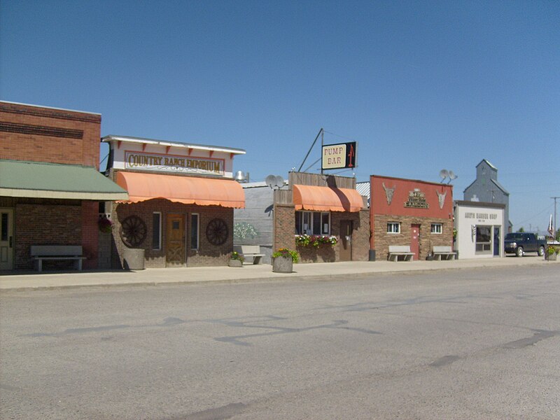
File:Stanford,_MT_Downtown.jpg · Wikimedia Commons · See Wikimedia Commons
Stanford
Sign in to saveAlso known as Stanford, Montana, Stanford, MT
town in and county seat of Judith Basin County, Montana, United States
Key facts
- Country
- United States
- State
- Montana
- County
- Judith Basin
- Total
- 0.43 sq mi (1.11 km )
- Land
- 0.43 sq mi (1.11 km )
- Water
- 0 sq mi (0.00 km )
- Elevation
- 4,285 ft (1,306 m)
- Density
- 939.0/sq mi (362.56/km )
- Time zone
- UTC-7 ( Mountain (MST) )
- Summer dst
- UTC-6 (MDT)
- Fips code
- 30-70675
via Wikipedia infobox
Wikidata facts
- Instance of
- county seat
- Official name
- Stanford
- Country
- United States
- Located in
- Judith Basin County
- Population
- 403
- Area
- 1.142484
- Elevation
- 1305
- Time zone
- Mountain Time Zone
- Capital of
- Judith Basin County
- Image
- Stanford, MT Downtown.jpg
- Households
- 161
- Dialing code
- 406
Show 5 more facts
- Commons category
- Stanford, Montana
- postal code
- 59479
- water as percent of area
- 0
- per capita income
- 49408
- inception
- 1875-00-00
Sources (6)
via Wikidata · CC0
~4 min read
Encyclopedic overview
Stanford is a town in and the county seat of Judith Basin County, Montana, United States. The population was at 403 as of the 2020 census.
Stanford was frequented by C.M. Russell and is featured in some of his landscape paintings.
Excerpted from Wikipedia’s “Stanford” article, available under the CC BY-SA 4.0 licence.