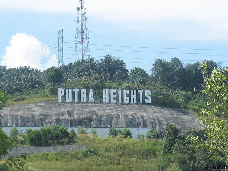
File:Putra_Heights_sign.JPG · Wikimedia Commons · See Wikimedia Commons
Key facts
- Country
- Malaysia
- State
- Selangor
- District
- Petaling
- Establishment of the district council
- 1 January 1977
- Municipality status
- 1 January 1997
- City status
- 20 October 2020
- Type
- City council
- Body
- Subang Jaya City Council
- Mayor
- Mohd Fauzi bin Mohd Yatim
- Total
- 70.41 km (27.19 sq mi)
- Density
- 10,960/km (28,390/sq mi)
- Time zone
- UTC+8 ( MST )
- Postcode
- 47500, 47600, 47610, 47620, 47630
- Area codes
- +603-56, +603-80
- Website
- portal .mbsj .gov .my
via Wikipedia infobox
Wikidata facts
- Instance of
- big city
- Country
- Malaysia
- Located in
- Selangor
- Population
- 708296
- Area
- 70
- Time zone
- UTC+08:00
- Shares border with
- Kuala Lumpur
- Official website
- www.mpsj.gov.my
- Image
- Subang Jaya at Dusk.jpg
Show 2 more facts
- Commons category
- Subang Jaya
- inception
- 1976-02-21
via Wikidata · CC0
~14 min read
Encyclopedic overview
Subang Jaya is a city in Petaling District, Selangor, Malaysia. It comprises the southern third district of Petaling. It consists of the neighbourhoods from SS12 to SS19, UEP Subang Jaya (USJ), Putra Heights, Batu Tiga as well as PJS7, PJS9 and PJS11 of Bandar Sunway, the latter of which are partially jurisdictional within Petaling Jaya under the MBPJ. The city is governed by Subang Jaya City Council (MBSJ), which also governs other areas of the Petaling district, such as Puchong and Seri Kembangan. According to Subang Jaya City Council, Subang Jaya has a population of 968,930 in 2020, which makes it the sixth largest city in Malaysia by population.
History
Excerpted from Wikipedia’s “Subang Jaya” article, available under the CC BY-SA 4.0 licence.