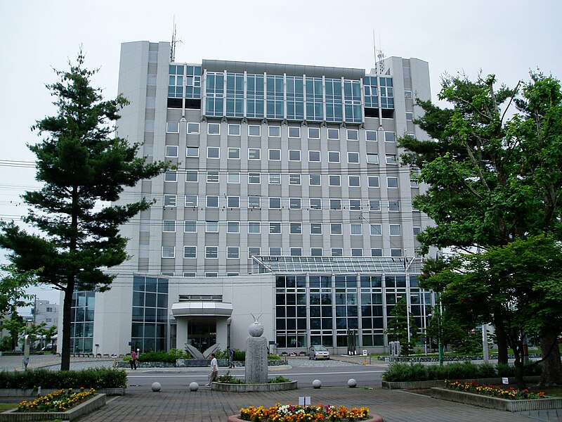
File:Takikawa_city_hall.JPG · Wikimedia Commons · See Wikimedia Commons
Key facts
- Country
- Japan
- Region
- Hokkaido
- Prefecture
- Hokkaido ( Sorachi Subprefecture )
- Mayor
- Kōkichi Maeda (since April 2011)
- Total
- 115.90 km (44.75 sq mi)
- Density
- 356.39/km (923.05/sq mi)
- Time zone
- UTC+09:00 ( JST )
- City hall address
- 1-2-15, Ōmachi, Takikawa-shi, Hokkaidō, 073-8686
- Climate
- Dfb
- Website
- www .city .takikawa .hokkaido .jp
- Flower
- Azalea and Cosmos
- Tree
- Platanus
via Wikipedia infobox
Wikidata facts
- Instance of
- city of Japan
- Official name
- 滝川市
- Country
- Japan
- Located in
- Sorachi district
- Population
- 43170
- Area
- 115.90
- Time zone
- Japan Standard Time
- Shares border with
- Shintotsukawa
- Official website
- www.city.takikawa.hokkaido.jp
- Image
- Takikawa view from glider.jpg
- Dialing code
- 0125
Show 7 more facts
- twinned administrative body
- Nago
- Commons category
- Takikawa, Hokkaido
- topic's main category
- Category:Takikawa, Hokkaido
- native label
- 滝川市
- name in kana
- たきかわし
- inception
- 1971-04-01
- associated electoral district
- Hokkaido 10th district
via Wikidata · CC0
~4 min read
Encyclopedic overview
Takikawa (滝川市, Takikawa-shi) is a city located in the Sorachi Subprefecture, Hokkaido, Japan.
Takikawa City is located in the central area of Hokkaido, it is conveniently located between the cities of Sapporo (biggest city) and Asahikawa (the second biggest city). Takikawa has an inland climate which causes great temperature difference between summer and winter. The average temperature in Takikawa is about 19 degrees Celsius in summer, and –5.9 degrees Celsius (21.4 Fahrenheit) in winter. Takikawa is one of the snowiest locations in Hokkaido, the average amount of snowfall in the past 10 years is 7.77 meters (25 feet, 6 inches).
Excerpted from Wikipedia’s “Takikawa” article, available under the CC BY-SA 4.0 licence.