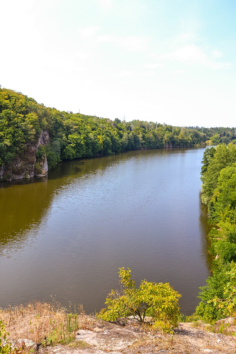
File:Тетерів_з_голови_Чацького.jpg · Wikimedia Commons · See Wikimedia Commons
Key facts
- River.name
- Teteriv
- River.image
- Тетерів з голови Чацького.jpg
- River.image_caption
- Teteriv River near Zhytomyr
- River.mapframe
- yes
- River.mapframe zoom
- 7
- River.source1_location
- Zhytomyr Oblast
- River.mouth
- Dnieper
- River.mouth_location
- Kyiv Reservoir
- River.subdivision_type1
- Country
- River.subdivision_name1
- Ukraine
- River.discharge1_avg
- 18,4 m³/s
via Wikipedia infobox
Wikidata facts
- Instance of
- river
- Country
- Ukraine
- Located in
- Zhytomyr Oblast
- Continent
- Europe
- Image
- Teteriv-river-1905.jpg
- Length
- 385
Show 9 more facts
- Commons gallery
- Teteriv (river)
- Commons category
- Teteriv (river)
- mouth of the watercourse
- Dnieper
- watershed area
- 15300
- discharge
- 18.4
- origin of the watercourse
- Nosivki
- drainage basin
- Dnieper basin
- slope
- 0.50
- on focus list of Wikimedia project
- WikiProject Ukraine
Sources (1)
via Wikidata · CC0
Article · Italiano
Il Teteriv (ucraino:Тетерiв), è un fiume dell'Ucraina, affluente di destra del Dnepr. È lungo 365 km ed ha un bacino di drenaggio di 15.100 km². È alimentato soprattutto dalla neve, il suo flusso medio a 136 km dalla foce è di 18,4 m³/s. Nel suo basso corso forma la valle del Teteriv, nella regione della Polesia; qui la sua larghezza oscilla fra i 40 e i 90 m, prima di confluire nel Dnepr.Il Teteriv è solitamente ghiacciato da dicembre a marzo. Il fiume forma rapide e cascatelle nel suo tratto mediano mentre vicino alla foce il suo corso diventa tranquillo; è navigabile nel suo tratto finale ove ha anche sede una centrale idroelettrica. Il Teteriv a Žytomyr Importanti affluenti sono il Hnylopjat', l'Hujva, lo Zdviž (destra) e l'Irša (sinistra). Città di rilievo sul suo corso sono, Žytomyr, capoluogo dell'omonimo oblast', Korostyšiv e Radomyšl'.
Abstract from DBpedia / Wikipedia · CC BY-SA
Gallery (4)
On the map
2 mapped locations