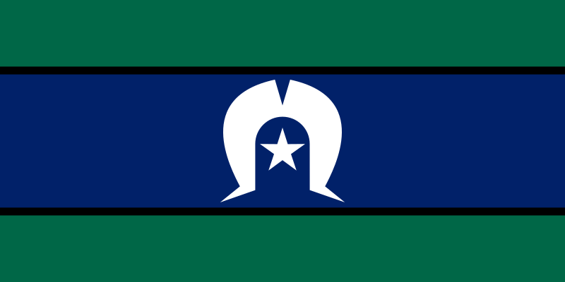
File:Flag_of_the_Torres_Strait_Islanders.svg · Wikimedia Commons · See Wikimedia Commons
Torres Strait Islands
Sign in to savearchipelago north of Australia
Key facts
- Area
- 566 km (219 sq mi)
- Capital and largest city
- Thursday Island
- Chairman chief executive officer
- Napau Pedro Stephen, Leilani Bin-Juda
- Demonym
- Torres Strait Islander
- Population
- 4,514 (2016)
- Languages
- English ; important local languages: Kalau Lagau Ya , Meriam Mir , Torres Strait Creole
via Wikipedia infobox
Wikidata facts
- Part of
- Far North Queensland
- Has part
- Talbot Islands
- Country
- Papua New Guinea
- Located in
- Queensland
- Population
- 7156
- Area
- 566
- Body of water
- Torres Strait
- Image
- TorresStraitIslandsMap.png
Show 3 more facts
- Commons category
- Torres Strait Islands
- topic's main category
- Category:Torres Strait Islands
- different from
- Torres Islands
via Wikidata · CC0
~26 min read
Encyclopedic overview
The Torres Strait Islands are an archipelago of at least 274 small islands in the Torres Strait, a waterway separating far northern continental Australia's Cape York Peninsula and the island of New Guinea. They span an area of 48,000 km (19,000 sq mi), but their total land area is 566 km (219 sq mi).
The Islands are inhabited by the indigenous Torres Strait Islanders. Lieutenant James Cook first claimed British sovereignty over the eastern part of Australia at Possession Island in 1770, but British administrative control only began in the Torres Strait Islands in 1862. The islands are now mostly part of Queensland, a constituent State of the Commonwealth of Australia, but are administered by the Torres Strait Regional Authority, a statutory authority of the Australian federal government. A few islands very close to the coast of mainland New Guinea belong to the Western Province of Papua New Guinea, most importantly Daru Island and its provincial capital, Daru.
Excerpted from Wikipedia’s “Torres Strait Islands” article, available under the CC BY-SA 4.0 licence.