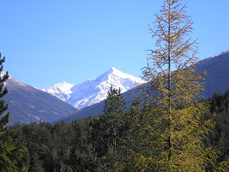
File:Tresero054.jpg · Wikimedia Commons · See Wikimedia Commons
Valfurva
Sign in to savethumb|left|View of Bormio and Valfurva at 10,000m
Key facts
- Italian comune.name
- Valfurva
- Italian comune.official_name
- Comune di Valfurva
- Italian comune.image_skyline
- Tresero054.jpg
- Italian comune.imagesize
- 300px
- Italian comune.image_caption
- The Tresero in October 2005.
- Italian comune.region
- Lombardy
- Italian comune.province
- Province of Sondrio (SO)
- Italian comune.frazioni
- Uzza, San Nicolò, Sant'Antonio, San Gottardo, Madonna dei Monti, Santa Caterina
- Italian comune.mayor
- Angelo Cacciotto
- Italian comune.area_total_km2
- 215.9
- Italian comune.population_total
- 2725
- Italian comune.population_as_of
- Dec. 2004
- Italian comune.elevation_m
- 1800
- Italian comune.postal_code
- 23030
- Italian comune.area_code
- 0342
via Wikipedia infobox
Wikidata facts
- Instance of
- comune of Italy
- Official name
- Valfurva
- Country
- Italy
- Located in
- Province of Sondrio
- Population
- 2487
- Area
- 215.02
- Elevation
- 1800
- Time zone
- UTC+02:00
- Shares border with
- Sondalo
- Official website
- www.comune.valfurva.so.it
- Image
- Tresero054.jpg
- Dialing code
- 0342
- Licence plate code
- SO
Show 3 more facts
- Commons category
- Valfurva
- postal code
- 23030
- Commons gallery
- Valfurva
Sources (6)
via Wikidata · CC0
~3 min read
Encyclopedic overview
2 sectionsContents
- Demographic evolution
- References
thumb|left|View of Bormio and Valfurva at 10,000m
Valfurva () is a (municipality) in the Province of Sondrio in the Italian region of Lombardy, located about northeast of Milan and about northeast of Sondrio, in the Alps. As of 31 December 2004, it had a population of 2,725 and an area of .
Excerpted from Wikipedia’s “Valfurva” article, available under the CC BY-SA 4.0 licence.
Gallery (3)
On the map
2 mapped locations