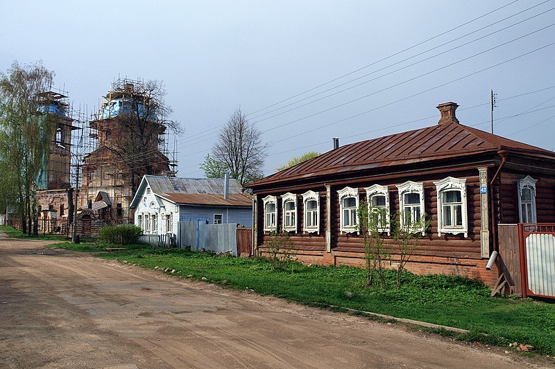
File:Vereya_Kirovskaya_St_52.JPG · Wikimedia Commons · See Wikimedia Commons
Vereya
Sign in to savetown in Naro-Fominsky District, Moscow Oblast, Russia
Key facts
- Country
- Russia
- Federal subject
- Moscow Oblast
- Administrative district
- Naro-Fominsky District
- Town selsoviet
- Vereya
- Elevation
- 190 m (620 ft)
- Total
- 5,368
- Estimate 2025
- 4,836 ( −9.9% )
- Capital of
- Town of Vereya
- Municipal district
- Naro-Fominsky Municipal District
- Urban settlement
- Vereya Urban Settlement
- Time zone
- UTC+3 ( MSK )
- Website
- vereya-mo .ru
via Wikipedia infobox
Wikidata facts
- Country
- Tsardom of Russia
- Population
- 4910
- Area
- 5
- Elevation
- 190
- Time zone
- UTC+03:00
- Image
- Богоявленская церковь (Верея).jpg
- Dialing code
- 49634
Show 3 more facts
- postal code
- 143330
- Commons category
- Vereya
- inception
- 1371-00-00
Sources (2)
via Wikidata · CC0
~3 min read
Encyclopedic overview
Vereya (Russian: Вере́я) is a town in Naro-Fominsky District of Moscow Oblast, Russia, located on the right bank of the Protva River 113 kilometers (70 mi) southwest of Moscow. Population: 5,368 (2010 census); 4,957 (2002 census); 5,606 (1989 Soviet census); 6,500 (1969).
History
Excerpted from Wikipedia’s “Vereya” article, available under the CC BY-SA 4.0 licence.