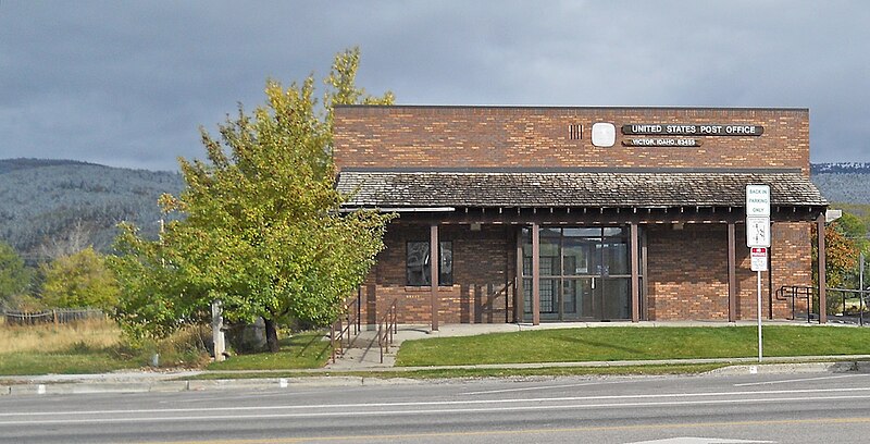
File:Victor_Idaho_Post_Office.jpg · Wikimedia Commons · See Wikimedia Commons
Victor
Sign in to saveAlso known as Victor, Idaho, Victor, ID
city in Teton County, Idaho, United States
Key facts
- Country
- United States
- State
- Idaho
- County
- Teton
- Total
- 2.64 sq mi (6.85 km )
- Elevation
- 6,217 ft (1,895 m)
- Density
- 946.2/sq mi (365.34/km )
- Time zone
- UTC-7 ( Mountain (MST) )
- Summer dst
- UTC-6 ( MDT )
- Area codes
- 208, 986
- Fips code
- 16-84250
- Website
- www .victoridaho .gov
via Wikipedia infobox
Wikidata facts
- Instance of
- city in the United States
- Official name
- Victor
- Country
- United States
- Located in
- Teton County
- Population
- 2157
- Area
- 8.907027
- Elevation
- 1894
- Official website
- www.victorcityidaho.com
- Image
- Victor Idaho Post Office.jpg
- Households
- 790
- Dialing code
- 208
Show 5 more facts
- P8168
- Helen Slater
- postal code
- 83455
- Commons category
- Victor, Idaho
- water as percent of area
- 0
- per capita income
- 22511
Sources (9)
via Wikidata · CC0
~5 min read
Encyclopedic overview
Victor is the largest city in Teton County, Idaho, United States. The population was 2,157 at the 2020 census, up from 1,928 in 2010, and 840 from 2000. It is part of the Jackson, WY–ID Micropolitan Statistical Area.
Nearby Teton Pass is accessed south from Victor on State Highway 33, which continues east of the state border as Wyoming Highway 22 to Jackson Hole.
Excerpted from Wikipedia’s “Victor” article, available under the CC BY-SA 4.0 licence.