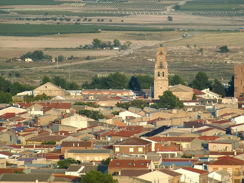
File:Vista_de_Villacañas.JPG · Wikimedia Commons · See Wikimedia Commons
Villacañas
Sign in to saveVillacañas is a municipality located in the province of Toledo, Castile-La Mancha, Spain.
Key facts
- Settlement.official_name
- Villacañas
- Settlement.settlement_type
- Municipality
- Settlement.image_skyline
- Vista de Villacañas.JPG
- Settlement.image_shield
- Escudo de Villacañas.svg
- Settlement.pushpin_map
- Spain Castile-La Mancha#Spain
- Settlement.pushpin_relief
- 1
- Settlement.subdivision_type
- Country
- Settlement.subdivision_name
- Spain
- Settlement.subdivision_type1
- Autonomous community
- Settlement.subdivision_name1
- Castile-La Mancha
- Settlement.subdivision_type2
- Province
- Settlement.subdivision_name2
- Toledo
- Settlement.area_total_km2
- 269
- Settlement.elevation_m
- 668
- Settlement.elevation_max_m
- 877
- Settlement.elevation_max_point
- El Romeral
- Settlement.population_density_km2
- auto
- Settlement.timezone
- CET
via Wikipedia infobox
Wikidata facts
- Official name
- Villacañas
- Population
- 9411
- Area
- 269
- Elevation
- 664
- Official website
- www.aytovillacanas.com
- Image
- Vista de Villacañas.JPG
- Licence plate code
- TO
Show 6 more facts
- postal code
- 45860
- Commons category
- Villacañas
- Commons gallery
- Villacañas
- male population
- 4735
- female population
- 4813
- P8168
- San Bernardo
via Wikidata · CC0
~1 min read
Article
6 sectionsContents
- Geography
- History
- Demographics
- References
- Bibliography
- External links
Villacañas is a municipality located in the province of Toledo, Castile-La Mancha, Spain.
== Geography == To the northwest of the town, the planiform relief of La Mancha is interrupted by the Sierra de El Romeral, a hill range following a NE-SE direction. At 877 metres above sea level, the highest point in the municipality is the so-called Pico de El Romeral, coterminous with the municipality of El Romeral. The town is located at about 668 metres above mean sea level. To the east and south of the town, the flat territory features an endorheic lagoon system, as well as the course of the , a tributary of the Cigüela.
Gallery (2)
On the map
2 mapped locations