Vosges Mountains
Sign in to saveThe Vosges ( , ; ; Franconian and ) is a range of medium mountains in Eastern France, near its border with Germany. Together with the Palatine Forest to the north on the German side of the border, they form a single geomorphological unit and low mountain range of around in area. It runs in a north-northeast direction from the Burgundian Gate (the Belfort–Ronchamp–Lure line) to the Börrstadt Basin (the Winnweiler–Börrstadt–Göllheim line), and forms the western boundary of the Upper Rhine Plain.
AI overview
The Vosges is a medium-sized mountain range in eastern France that extends along the German border and, together with Germany's Palatine Forest, forms a unified low mountain system. The range runs north-northeast from the Burgundy region to the Börrstadt Basin and serves as the western boundary of the Upper Rhine Plain.
AI-generated from the Wikipedia summary — may contain errors.
Key facts
- Mountain.name
- Vosges
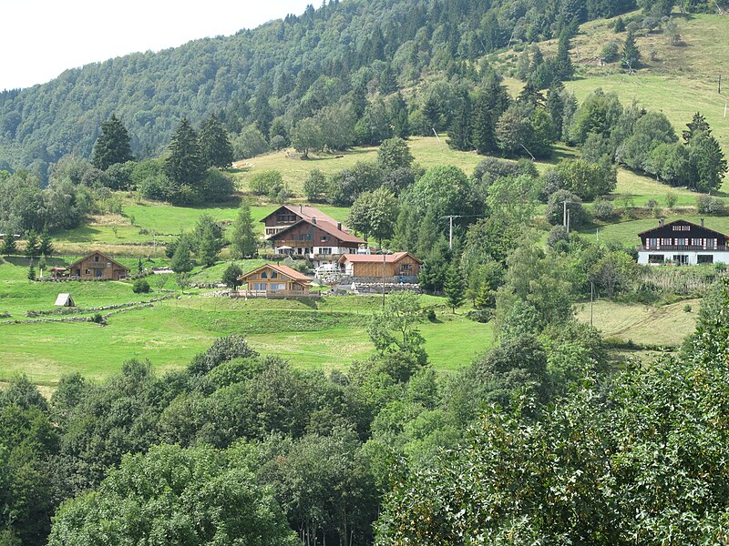
- Mountain.photo
- File:Houses near Bussang.jpg
- Mountain.photo_alt
- Photograph of houses on the slopes near Bussang (Vosges, France)
- Mountain.photo_caption
- Houses on the slopes near Bussang in France
- Mountain.country
- France
- Mountain.region_type
- Region
- Mountain.region
- Grand Est, Bourgogne-Franche-Comté
- Mountain.highest
- Grand Ballon
- Mountain.elevation_m
- 1424
- Mountain.length_km
- 120
- Mountain.area_km2
- 5500
- Mountain.area_ref
- up to depending on the natural region boundaries selected
Article
11 sectionsContents
- Geography
- Geology
- Mountains
- Nature parks and protected areas
- Climate
- History
- Language
- See also
- References
- Further reading
- External links
The Vosges ( , ; ; Franconian and ) is a range of medium mountains in Eastern France, near its border with Germany. Together with the Palatine Forest to the north on the German side of the border, they form a single geomorphological unit and low mountain range of around in area. It runs in a north-northeast direction from the Burgundian Gate (the Belfort–Ronchamp–Lure line) to the Börrstadt Basin (the Winnweiler–Börrstadt–Göllheim line), and forms the western boundary of the Upper Rhine Plain.
The Grand Ballon is the highest peak at , followed by the Storkenkopf (), and the Hohneck ().