
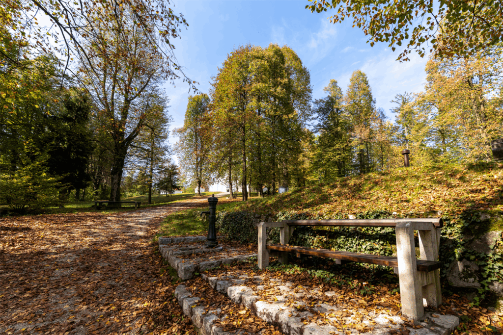
File:Vrhnika,_view_of_St._Paul's_church_from_Drca_02.jpg · Wikimedia Commons · See Wikimedia Commons
Vrhnika
Sign in to saveVrhnika (; ; ) is a town in Slovenia. It is the seat of the Municipality of Vrhnika. It is located on the Ljubljanica River, 21 km from Ljubljana along the A1 motorway.
OverviewAI-generated
Vrhnika is a city in Slovenia that serves as the capital of the Municipality of Vrhnika. It is located within the historical Duchy of Carniola and has an elevation of 297 meters above sea level. The city covers an area of 18.9 square kilometers and operates in the UTC+01:00 and UTC+02:00 time zones. Its postal code is 1360.
The population of Vrhnika is recorded as 8,969, consisting of 4,533 males and 4,355 females. Another source lists the population as 8,413. The city is distinct from the location Furnica.
Synthesized by Vinony from 43 facts across 7 sources: Wikidata, Openweathermap, OpenStreetMap, GeoNames, Firecrawl, Vinony graph, Geo. Generated from structured data (not the Wikipedia text) and checked against those facts — may still contain errors.
Weather now
Place details
- Locality
- Vrhnika
- Region
- Municipality of Vrhnika
- Country
- Slovenija
- Population
- 8,413
- Timezone
- Europe/Ljubljana
via OpenStreetMap · GeoNames
Key facts
- Settlement.official_name
- Vrhnika
- Settlement.settlement_type
- Town
- Settlement.image_caption
- From top, left to right: View over town center, Holy Trinity Church, Kunstelj Villa, Lavrenčič House, Primary School, Cankar's Statue
- Settlement.image_flag
- Flag of Vrhnika.gif
- Settlement.image_shield
- ObcinaVrhnika.png
- Settlement.pushpin_map
- Slovenia
- Settlement.pushpin_label_position
- right
- Settlement.pushpin_map_caption
- Location in Slovenia
- Settlement.subdivision_type
- Country
- Settlement.subdivision_type1
- Traditional region
- Settlement.subdivision_name1
- Inner Carniola
- Settlement.subdivision_type2
- Statistical region
- Settlement.subdivision_name2
- Central Slovenia
- Settlement.subdivision_type3
- Municipality
- Settlement.subdivision_name3
- Vrhnika
- Settlement.area_total_km2
- 18.9
- Settlement.population_as_of
- 2012
- Settlement.population_total
- 8454
via Wikipedia infobox
Official website
Link to the official site · 5,107 chars · not written by Vinony
Wikidata facts
- Official name
- Vrhnika
- Country
- Slovenia
- Located in
- Duchy of Carniola
- Population
- 2882
- Area
- 18.9
- Elevation
- 297
- Time zone
- UTC+02:00
- Capital of
- Municipality of Vrhnika
- Official website
- www.vrhnika.si
- Image
- Vrhnika; view along Tržaška Street from Drča.jpg
Show 10 more facts
- Commons category
- Vrhnika
- category of associated people
- Category:People from Vrhnika
- postal code
- 1360
- Commons gallery
- Vrhnika
- different from
- Furnica
- P8168
- Michael Tiemann
- female population
- 4355
- male population
- 4533
- native label
- Vrhnika
- P12749
- industrial sector
Sources (6)
via Wikidata · CC0
~5 min read
Encyclopedic overview
8 sectionsContents
- Geography
- Name
- History
- Mass grave
- Cultural heritage
- Notable people
- References
- External links
Vrhnika (; ; ) is a town in Slovenia. It is the seat of the Municipality of Vrhnika. It is located on the Ljubljanica River, 21 km from Ljubljana along the A1 motorway.
==Geography== thumbnail|left|Big Drnovica Collapse Sinkhole Vrhnika lies at the southwest end of the Ljubljana Marsh near the sources of the Ljubljanica River, where the Ljubljana Basin opens up between the foot of Ljubljana Peak (, ) and Ulovka Hill (). Močilnik Springs is located south of the settlement; together with nearby Retovje Springs, water flows mainly from the subterranean streams of the Unica to produce the Little Ljubljanica River () and Big Ljubljanica River (), which in turn join to create the Ljubljanica River. The territory of the town extends south onto the Logatec Plateau (), where the Big and Little Drnovica Collapse Sinkholes () are found.
Excerpted from Wikipedia’s “Vrhnika” article, available under the CC BY-SA 4.0 licence.
Gallery (15)
On the map
3 mapped locations