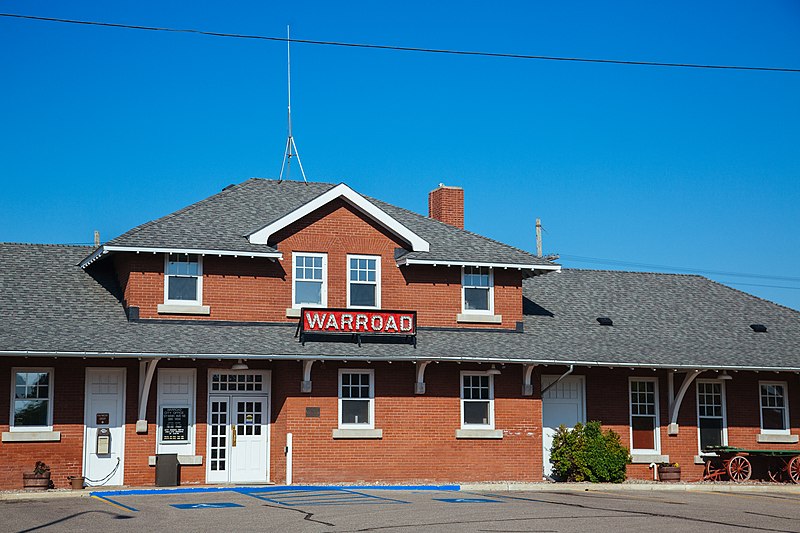
File:City_of_Warroad,_Minnesota_-_City_Office_City_Hall_(38941103901).jpg · Wikimedia Commons · See Wikimedia Commons
Key facts
- Country
- United States
- State
- Minnesota
- County
- Roseau
- Total
- 3.38 sq mi (8.76 km )
- Land
- 3.27 sq mi (8.48 km )
- Water
- 0.11 sq mi (0.29 km )
- Elevation
- 1,066 ft (325 m)
- Density
- 559.1/sq mi (215.87/km )
- Time zone
- UTC-6 ( Central (CST) )
- Summer dst
- UTC-5 (CDT)
- Fips code
- 27-68224
- Gnis feature id
- 0653790
- Website
- warroadmn .org
via Wikipedia infobox
Wikidata facts
- Instance of
- city in the United States
- Official name
- Warroad
- Country
- United States
- Located in
- Roseau County
- Population
- 1830
- Area
- 7.512145
- Elevation
- 325
- Official website
- www.warroad.org
- Image
- Old Warroad National Depot.JPG
- Households
- 804
- Dialing code
- 218
Show 7 more facts
- P8168
- HFF
- postal code
- 56763
- Commons category
- Warroad, Minnesota
- category of associated people
- Category:People from Warroad, Minnesota
- water as percent of area
- 3.8178
- per capita income
- 25193
- native label
- Warroad
Sources (9)
via Wikidata · CC0
~9 min read
Encyclopedic overview
Warroad is a city in Roseau County, Minnesota, United States, at the southwest corner of Lake of the Woods, 7.5 miles (12.1 km) south of Canada. The population was 1,830 at the 2020 census. Warroad had its own newspaper before it was incorporated in 1901.
Minnesota State Highways 11 and 313 are two of the city's main routes.
Excerpted from Wikipedia’s “Warroad” article, available under the CC BY-SA 4.0 licence.