Category
page 1Hydrology

flood
thumb|Urban flooding in a street in Morpeth, England, 2008

spring
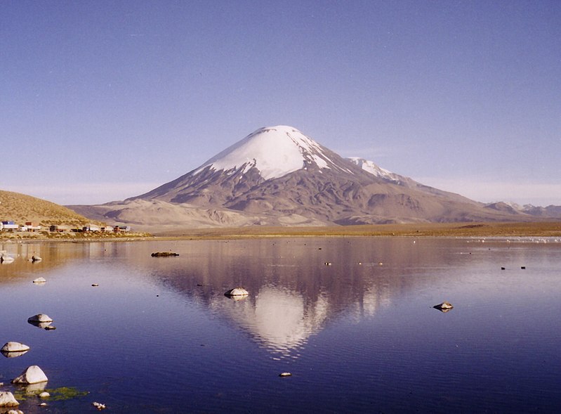
terrestrial water source

water cycle
continuous movement of water on, above and below the surface of the Earth

drought
A drought is a period of drier-than-normal conditions. A drought can last for days, months or years. Drought often has large impacts on the ecosystems and agriculture of affected regions, and causes harm to the local economy. Annual dry seasons in the tropics significantly increase the chances of a drought developing, with subsequent increased wildfire risks. Heat waves can significantly worsen drought conditions by increasing evapotranspiration. This dries out forests and other vegetation, and increases the amount of fuel for wildfires.

oceanography
thumb|Thermohaline circulation

drainage basin
area of land where precipitation collects and drains off into a common outlet, such as into a river, bay, or other body of water

hydrology
thumb|upright=1.3|Rain falling over a drainage basin in [[Scotland. Understanding the cycling of water into, through, and out of catchments is a key element of hydrology.]]

hydrosphere
thumb|upright=1.5|The Earth captured in the [[Pacific Ocean side]]
.PNG)
groundwater
right|thumb|upright=1.5|An illustration showing groundwater in aquifers (in blue) (1, 5 and 6) below the [[water table (4), and three different wells (7, 8 and 9) dug to reach it.]]

fresh water
naturally occurring water with low concentrations of dissolved salts

hydrography
thumb|right|upright=1.3|Table of geography, hydrography, and navigation, from a 1728 Cyclopaedia, or an Universal Dictionary of Arts and Sciences|Cyclopaedia
Hydrography is the branch of applied sciences which deals with the measurement and description of the physical features of oceans, seas, coastal areas, lakes and rivers, as well as with the prediction of their change over time, for the primary purpose of safety of navigation and in support of all other marine activities, including economic development, security and defense, scientific research, and environmental protection.
transpiration
thumb|Overview of transpiration:
thumb|Transpiration of water in xylem
thumb|Stoma in a [[tomato leaf shown via colorized scanning electron microscope]]
thumb|The clouds in this image of the [[Amazon rainforest are a result of evapotranspiration.]]

drainage divide
line that separates neighbouring drainage basins

floodplain
thumb|350px|Paraná River floodplain, at its confluence with the headstream of the Paranaíba (on the right) and the Verde River, near Panorama, Brazil
thumb|right|A floodplain after a one-in-10-year flood on the Isle of Wight
thumb|right|Gravel floodplain of a glacial river near the Snow Mountains in Alaska, 1902
thumb|right|The Laramie River [[meanders across its floodplain in Albany County, Wyoming, 1949]]
thumb|right| This aggradational floodplain of a small meandering stream in La Plata County, Colorado, is underlain by silt deposited above a dam formed by a terminal [[moraine left by the W

artesian well
artificially drilled well in a depression below the groundwater table

capillary action
ability of a liquid to flow in narrow spaces

aquifer
thumb|upright=1.8|Schematic of an aquifer showing confined zones, groundwater travel times, a spring and a [[well]]

stream
thumb|Cvrcka in Bosnia

shoal
right|thumb|Sandbar between St. Agnes, Isles of Scilly|St Agnes and [[Gugh on the Isles of Scilly, off the coast of Cornwall, England, United Kingdom]]
thumb|A tidal sandbar connecting the islands of Waya Island|Waya and Wayasewa of the [[Yasawa Islands, Fiji]]
thumb|Sandbar between Nosy Iranja Be and Nosy Iranja Kely(Nosy Iranja, [[Madagascar)]]

endorheic basin
closed drainage basin that retains water and allows no outflow to other external bodies of water

confluence
thumb|Confluence of the Bhagirathi and [[Alaknanda Rivers at the Ganges in Devprayag, India]]
thumb|The same confluence viewed from upstream at a different time; note the swirl of sediment from the Alaknanda River

surface runoff
flow of excess rainwater not infiltrating in the ground over its surface

brine
Brine (or briny water) is a high-concentration solution of salt (typically sodium chloride or calcium chloride) in water. In diverse contexts, brine may refer to the salt solutions ranging from about 3.5% (a typical concentration of seawater, on the lower end of that of solutions used for brining foods) up to about 26% (a typical saturated solution, depending on temperature). Brine forms naturally due to evaporation of ground saline water but it is also generated in the mining of sodium chloride. Brine is used for food processing and cooking (pickling and brining), for de-icing of roads and ot

rain shadow
leeward side of a mountain range
water resource
sources of water that are useful or potentially useful

flash flood
rapid flooding of low-lying areas, often caused by heavy rain associated with a severe thunderstorm, hurricane, tropical storm, or melt water from ice or snow
surface water
water on the continents surface, rather than underground

evapotranspiration
thumb|right|260px|Water cycle of the Earth's surface, showing the individual components of transpiration and evaporation that make up evapotranspiration. Other closely related processes shown are runoff and [[groundwater recharge.]]

discharge
volume flow rate of water that is transported through a given cross-sectional area

moisture
right|150px|thumb|Dew on a spider web
thumb|Water vapor deposits itself in colder surfaces.
thumb|Excess moisture in the inside of a home can cause paint in the walls to start peeling off, in this case, paint in the wall of a bathroom.
Moisture is the presence of a liquid, especially water, often in trace amounts. Moisture is defined as water in the adsorbed or absorbed phase. Small amounts of water may be found, for example, in the air (humidity), in foods, and in some commercial products. Moisture also refers to the amount of water vapor present in the air. The soil also includes moisture.

thalweg
thumb|upright=1.3|The thalweg of a river
river bifurcation
the forking of a river into its distributaries
communicating vessels
set of containers containing a homogeneous fluid
Darcy's law
equation describing the flow of a fluid through a porous medium
bank
in geography, area between high and low tide marks of water bodies (both still and moving), or a raised landform on the side of a water body
hydrometry
Hydrometry is the monitoring of the components of the hydrological cycle including rainfall, groundwater characteristics, as well as water quality and flow characteristics of surface waters. The etymology of the term hydrometry is from () 'water' + () 'measure'.
infiltration
process by which water on the ground surface enters the soil

hydrometeorology
alt=Watercycle-french.jpg|thumb|Watercycle-french.jpg
Hydrometeorology is a branch of meteorology and hydrology that studies the transfer of water and energy between the land surface and the lower atmosphere for academic research, commercial gain or operational forecasting purposes.
fossil water
undisturbed ancient body of water
subterranean river
river that runs wholly or partly beneath the ground surface
barrier island
coastal landform and a type of dune system
hydraulic head
specific measurement of liquid pressure above a vertical datum
drainage system
pattern formed by the streams, rivers, and lakes in a particular drainage basin

floodgate
thumb|right|300px|Tokyo floodgates created to protect from [[typhoon surges]]
riparian zone
interface between land and a river or stream

MOSE
right|thumb|Acqua alta [[floods in Piazza San Marco, November, 2004. The increasing frequency of this type of event caused considerable damage and prompted projects such as MOSE.]]
permeability
measure of the ability of a porous material to allow fluids to pass through it
stream capture
geomorphological phenomenon
hypersaline lake
landlocked body of water that contains concentrations of salts greater than the sea
water balance
looks at how water moves in a closed system
shallow
underwater relief where the depth of the water is low compared to that of the surrounding points
potamology
Potamology (from - river, - science) is the study of rivers, a branch of hydrology. The subject of study is the hydrological processes of rivers, the morphometry of river basins, the structure of river networks; channel processes, regime of river mouth areas; evaporation and infiltration of water in a river basin; water, thermal, ice regime of rivers; sediment regime; sources and types of rivers feeding, and various chemical and physical processes in rivers.
water table
top of a saturated aquifer, or where the water pressure head is equal to the atmospheric pressure
acqua alta
exceptional tide peaks in Venice and northern Adriatic Sea
Manning formula
used for open channel flows
hydraulic diameter
measure of a channel flow efficiency
hadal zone
composed of trench zones, is the delineation for the deepest trenches in the ocean. The hadal zone is found from a depth to the bottom of the ocean of around 6,000 to 11,000 metres and exists in long but narrow topographic V-shaped depressions
stream pool
stretch of a river or stream in which the water depth is above average and the water velocity is quite below average; quiet slow-moving portion of a stream
vadose zone
the unsaturated aquifer above the water table

hydrograph
thumb|upright=1.2|A stream hydrograph. Increases in stream flow follow rainfall or [[snowmelt. The gradual decay in flow after the peaks reflects diminishing supply from groundwater.]]