Category
page 1Physiographic sections
Canary Islands
autonomous community of Spain, and archipelago in the Atlantic Ocean

Congo
river in central Africa

Niger River
river in West Africa
Oaxaca
Oaxaca, officially the Free and Sovereign State of Oaxaca, is one of the 32 states that compose the Federative Entities of the United Mexican States. It is divided into 570 municipalities, of which 418 (almost three quarters) are governed by the system of (customs and traditions) with recognized local forms of self-governance. Its capital city is Oaxaca de Juárez.

Grand Canyon
steep-sided canyon carved by the Colorado River in Arizona, United States

Atacama Desert
desert in South America
Aleutian Islands
chain of islands in the Northern Pacific

Sierra Nevada
mountain range in the Western United States

Mackenzie River
largest river system in Canada

Gulf of Carpentaria
large, shallow sea enclosed on three sides by northern Australia and bounded on the north by the Arafura Sea
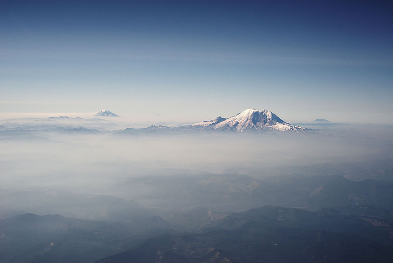
Cascade Range
mountain range in western North America

Sonoran Desert
desert in northwestern Mexico and the southwestern United States

Greater Caucasus
mountain range in the Caucasus region

Lesser Caucasus
mountain range in the Caucasus region

Altiplano
thumb|right|270px|A map of the Endorheic basin|endorheic river basins that characterize the altiplano. In the north is [[Lake Titicaca and the Desaguadero River system; in the south is the Salar de Uyuni salt flat. The non-endorheic altiplano extends southward into Argentina and Chile.]]

Dasht-e Lut
desert in Iran
Snake River
major tributary of the Columbia River in the northwestern United States

Pindus
The Pindus, Pindos or Pindhos is a mountain range located in Northern Greece and Southern Albania. It is roughly long, with a maximum elevation of (Mount Smolikas). Because it runs north to south along much of mainland Greece, the Pindus range is known colloquially as the spine of Greece. The mountain range stretches from near the Greek-Albanian border in southern Albania, entering the Epirus and Macedonia regions in northern Greece down to the north of the Peloponnese. Geologically, it is an extension of the Dinaric Alps, which dominate the western region of the Balkan Peninsula.

Black Hills
mountain range in South Dakota and Wyoming and holy site of Native Americans

Blue Mountains
mountain range in New South Wales
Puget Sound
sound along the northwestern coast of the U.S. state of Washington

Central Valley
valley in central California, USA

Torres Strait Islands
archipelago north of Australia
Mexican Plateau
arid-to-semiarid plateau across northern and central Mexico
Tell Atlas
mountain range
Southern Limestone Alps
mountain range
Green Mountains
subrange of the Appalachian Mountains in Quebec, Canada and Vermont, United States
Eyre Peninsula
peninsula in South Australia
Olympic Mountains
mountain range in Washington State, United States
Yorke Peninsula
region in South Australia
Cameroon line
chain of volcanoes in western Africa
Hudson Valley
comprises the valley of the Hudson River and its adjacent communities in the U.S. state of New York
Torngat Mountains
mountain range of the Arctic Cordillera in Quebec and Labrador, Canada
Atherton Tableland
fertile plateau which is part of the Great Dividing Range in Queensland, Australia
Klamath Mountains
mountain range in California and Oregon, United States
Cumberland Plateau
plateau in the United States
White Mountains
subrange of the Appalachian Mountains in New Hampshire and Maine, United States
Edwards Plateau
region of west-central Texas
Grampians (Gariwerd) National Park
national park in Australia
High Plains
subregion of the Great Plains mostly in the Western United States
River Torrens
river in Australia
Allegheny Plateau
dissected plateau in the eastern United States
Fitzroy River
river in Kimberley region of Western Australia, Australia
Great Bear River
river in the Northwest Territories, Canada
Darling Scarp
Scarp east of Perth, Western Australia
California Coast Ranges
mountain range (with 2 parts: northern and southern) on the Pacific Coast of Northern America
Blue Mountains
mountain range in northeast Oregon and southeast Washington, USA
Transverse Ranges
mountain range in California, USA
Pilbara craton
old and stable part of the continental lithosphere located in Pilbara, Western Australia
Gulf Coastal Plain
plain around the Gulf of Mexico in the Southern United States and eastern Mexico
Taconic Mountains
mountain range in the northeastern United States
physiographic regions of the world
classification system for Earth's landforms based on the work on N. M. Fenneman
Peninsular Ranges
Group of mountain ranges in Southern California and northern Mexico
Wunaamin-Miliwundi Ranges
mountain range in Kimberley region of Western Australia
Cassiar Mountains
mountain range in British Columbia and Yukon, Canada
Payette River
river in Payette, Gem, and Boise counties in Idaho, United States
Mississippi Alluvial Plain
alluvial plain created by the Mississippi River in the United States

Warrumbungles
The Warrumbungles is a mountain range in the Orana region of New South Wales, Australia. The nearest town is Coonabarabran. The area is easiest accessed from the Newell Highway which is the major road link directly between Melbourne, Victoria and Brisbane, Queensland and cuts across inland New South Wales from the north to the south.
Cumberland Mountains
subrange of the Appalachian Mountains in the United States
Interior Plateau
plateau in British Columbia, Canada