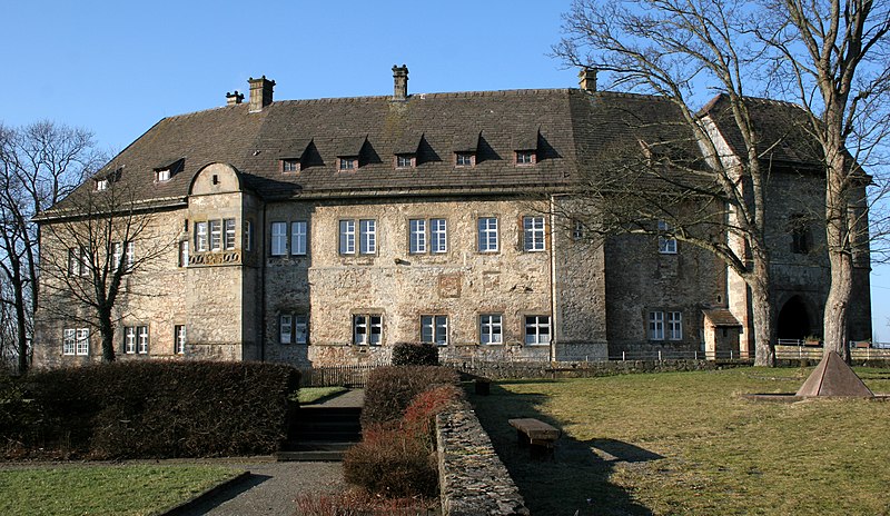
File:Burg_dringenberg.jpg · Wikimedia Commons · See Wikimedia Commons
Key facts
- Country
- Germany
- State
- North Rhine-Westphalia
- Admin region
- Detmold
- District
- Höxter
- Mayor 2025 30
- Tobias Tölle ( Ind. )
- Total
- 115.3 km (44.5 sq mi)
- Highest elevation
- 435 m (1,427 ft)
- Lowest elevation
- 147 m (482 ft)
- Density
- 165.5/km (428.6/sq mi)
- Time zone
- UTC+01:00 ( CET )
- Summer dst
- UTC+02:00 ( CEST )
- Dialling codes
- 05253, 05259, 05238
- Vehicle registration
- HX, WAR
- Website
- www.bad-driburg.de
via Wikipedia infobox
Wikidata facts
- Official name
- Bad Driburg
- Country
- Germany
- Located in
- Höxter
- Population
- 19496
- Area
- 115.3
- Elevation
- 220
- Time zone
- UTC+02:00
- Shares border with
- Nieheim
- Official website
- www.bad-driburg.de
- Image
- Burg dringenberg.jpg
- Dialing code
- 05238
- Licence plate code
- HX
Show 9 more facts
- twinned administrative body
- Uebigau-Wahrenbrück
- Commons category
- Bad Driburg
- Commons gallery
- Bad Driburg
- native label
- Bad Driburg
- postal code
- 33014
- P6814
- Bad Driburg
- described by source
- Encyclopædia Britannica 11th edition
- P8168
- Eppelheim
- hashtag
- BadDriburg
Sources (9)
via Wikidata · CC0
~10 min read
Encyclopedic overview
Bad Driburg ( German: [baːt ˈdʁiːˌbʊʁk] ) is a town and spa in Höxter district in North Rhine-Westphalia, Germany, situated on the river Aa and the Altenbeken–Kreiensen railway.
Geography
Excerpted from Wikipedia’s “Bad Driburg” article, available under the CC BY-SA 4.0 licence.