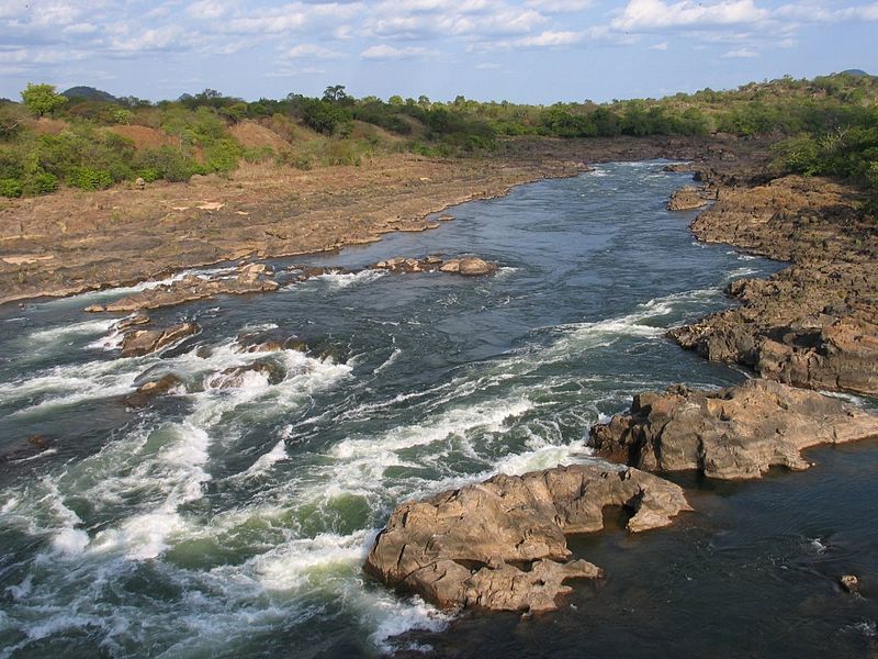
File:Cuanza_river_near_Dondo,_Angola.jpg · Wikimedia Commons · See Wikimedia Commons
AI overview
The Cuanza River is a major river located in Angola in south-central Africa. It is important as a significant water source for the region and has historically played a role in Angola's geography and development.
AI-generated from the Wikipedia summary — may contain errors.
Key facts
- Country
- Angola
- Source
- Bié Plateau
- Location
- Central Angola
- Elevation
- 1,234 m (4,049 ft)
- Mouth
- Atlantic Ocean
- Coordinates
- 9°21′S 13°9′E / 9.350°S 13.150°E / -9.350; 13.150
- Length
- 960 km (600 mi)
- Basin size
- 152,570 km (58,910 mi )
- Average
- (Period: 1971–2000)1,944.3 m /s (68,660 cu ft/s)
- River system
- Cuanza River
- Left
- Kukema, Cunhinga, Ngango, Cutato
- Right
- Cuiva, Luando, Cuige, Lucala
- Waterbodies
- Cambambe reservoir
via Wikipedia infobox
Wikidata facts
- Instance of
- stream
- Country
- Angola
- Continent
- Africa
- Elevation
- 1394
- Image
- Cuanza river near Dondo, Angola.jpg
- Length
- 965
Show 6 more facts
- described by source
- Encyclopædia Britannica 11th edition
- Commons category
- Kwanza River
- mouth of the watercourse
- Atlantic Ocean
- watershed area
- 152570
- discharge
- 825
- origin of the watercourse
- Chitembo
Sources (2)
via Wikidata · CC0
~2 min read
Encyclopedic overview
The Cuanza River, also known as the Kwanza, the Quanza, or the Coanza, is the longest river in Angola. It empties into the Atlantic Ocean just south of the national capital Luanda.
Geography
Excerpted from Wikipedia’s “Cuanza River” article, available under the CC BY-SA 4.0 licence.