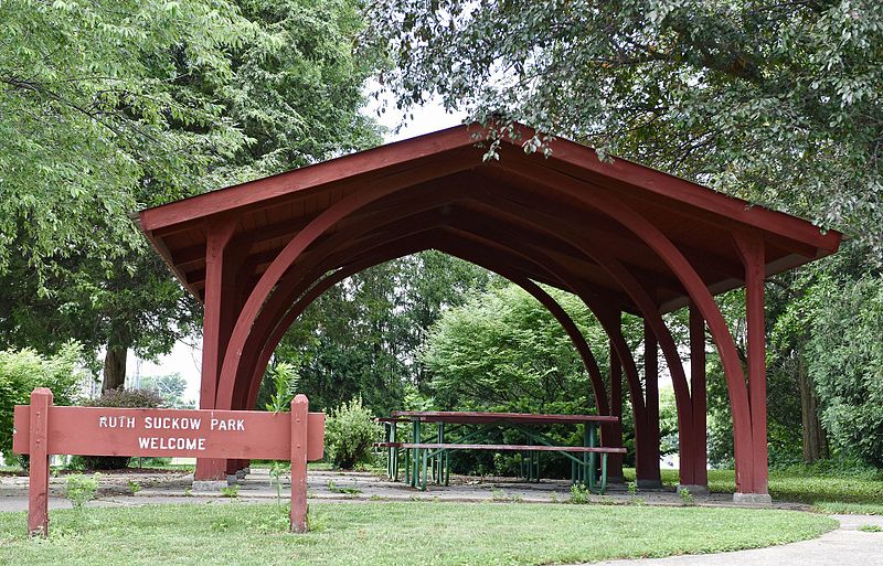
File:Ruth_Suckow_Park_now_stands_where_her_house_was_located.jpg · Wikimedia Commons · See Wikimedia Commons
Earlville
Sign in to saveAlso known as Earlville, Iowa, Earlville, IA
human settlement in Delaware County, Iowa, United States of America
Key facts
- Country
- United States
- State
- Iowa
- County
- Delaware
- Incorporated
- June 12, 1882
- Total
- 0.55 sq mi (1.43 km )
- Land
- 0.55 sq mi (1.43 km )
- Water
- 0 sq mi (0.00 km )
- Elevation
- 1,001 ft (305 m)
- Density
- 1,300.2/sq mi (502.01/km )
- Time zone
- UTC-6 ( Central (CST) )
- Summer dst
- UTC-5 (CDT)
- Fips code
- 19-23430
via Wikipedia infobox
Wikidata facts
- Instance of
- human settlement
- Official name
- Earlville
- Country
- United States
- Located in
- Delaware County
- Population
- 716
- Area
- 1.431063
- Elevation
- 304
- Image
- Ruth Suckow Park now stands where her house was located.jpg
- Households
- 359
Show 6 more facts
- P8168
- Bad Driburg
- inception
- 1857-01-01
- Commons category
- Earlville, Iowa
- postal code
- 52041
- water as percent of area
- 0
- per capita income
- 30072
Sources (8)
via Wikidata · CC0
~5 min read
Encyclopedic overview
Earlville is a city in Delaware County, Iowa, United States. The population was 716 at the time of the 2020 census.
History
Excerpted from Wikipedia’s “Earlville” article, available under the CC BY-SA 4.0 licence.