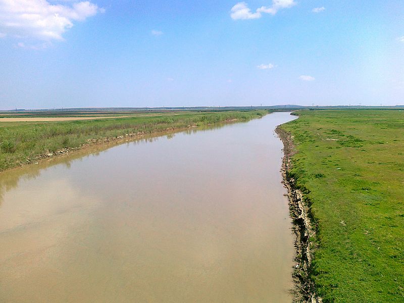
File:Ialomita_River_crossing_DN_2A.jpg · Wikimedia Commons · See Wikimedia Commons
Key facts
- Country
- Romania
- Counties
- Dâmbovița Prahova Ilfov Ialomița
- Cities
- Târgoviște Urziceni Slobozia
- Source
- Bucegi Mountains
- Location
- north of Moroeni
- Mouth
- Danube
- Length
- 417 km (259 mi)
- Basin size
- 10,350 km (4,000 sq mi)
- Average
- 45 m /s (1,600 cu ft/s)
- Progression
- Danube → Black Sea
- Left
- Prahova
via Wikipedia infobox
Wikidata facts
Show 7 more facts
- watershed area
- 8900
- Commons category
- Ialomița River
- mouth of the watercourse
- Danube
- discharge
- 70
- basin country
- Romania
- described by source
- Brockhaus and Efron Encyclopedic Dictionary
- different from
- Ialomița County
Sources (3)
via Wikidata · CC0
~2 min read
Encyclopedic overview
The Ialomița (Romanian: râul Ialomița [ˈjalomitsa] ) is a river of Southern Romania. It rises from the Bucegi Mountains in the Carpathians. It discharges into the Borcea branch of the Danube in Giurgeni. It is 417 km (259 mi) long, and its basin area is 10,350 km (4,000 sq mi). Its average discharge at the mouth is 45 m/s (1,600 cu ft/s). Ialomița County takes its name from this river.
The upper reach of the river is sometimes known as Valea Obârșiei or Obârșia Ialomiței.
Excerpted from Wikipedia’s “Ialomița River” article, available under the CC BY-SA 4.0 licence.